Topics > Northumberland > Callaly > Dancing Hall, near Callaly
Dancing Hall, near Callaly
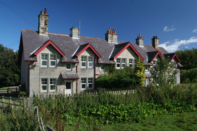
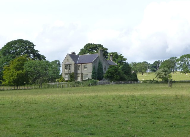
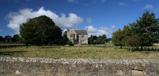
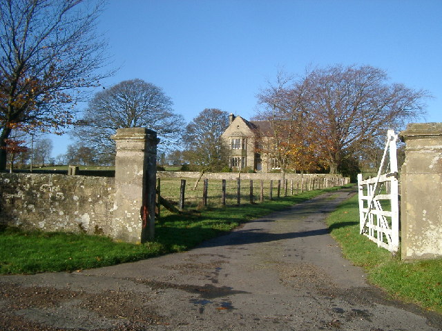
Dancing Hall is located off the Roman Road, about 1 mile south-west of Callaly and half mile north-east of Lorbottle Hall. The present building dates from the late 19th century, replacing the original Dancing Hall, which was located further to the west.[1] It is said that convicts from the local region were held in the building, before being transported to the local magistrates in Powburn. Dancing Hall derives its name from the fact that the majority of convicts were on their way to be hanged for various crimes, that is, to "dance on the hangman's rope". Close to the Hall is a farm and Dancing Hall Cottages.

from https://keystothepast.info/se…
Dancing Hall (Whittingham and Callaly)
- "The earlier site of Dancing Hall farmstead before it moved to its present location closer to the road in the late 19th century...."
Added by
Simon Cotterill

from https://keystothepast.info/se…
Dancing Hall (Whittingham and Callaly)
- "The earlier site of Dancing Hall farmstead before it moved to its present location closer to the road in the late 19th century...."
Added by
Simon Cotterill