Topics > Civil Parishes in Cumbria > Cumwhitton Civil Parish > Cumwhitton Parish, 1848
Cumwhitton Parish, 1848
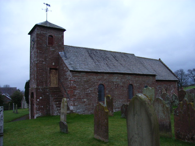
CUMWHITTON (St. Mary), a parish, in the union of Brampton, Eskdale ward, E. division of Cumberland; comprising the townships of Cumwhitton, Moorthwaite, and Northsceugh; and containing 533 inhabitants, of whom 242 are in the township of Cumwhitton, 9 miles (E.S.E.) from Carlisle. The parish comprises 5,400a. 2r. 29p., the whole of which is arable, with the exception of about 140 acres of meadow, the ground occupied by a few Scottish firs and larches, and the plantations on the banks of the Eden. The living is a perpetual curacy; net income, £102; patrons, the Dean and Chapter of Carlisle. The church is in the Norman style, and consists of a nave, chancel, and north aisle; a tower was built in 1810, and the ancient lancet windows have been displaced for others of larger dimensions. On an eminence called "King Harry" is a Druidical temple, the stones of which, 90 in number, are placed in a circular position; and the lines of intrenchments may be traced on the common.
Extract from: A Topographical Dictionary of England comprising the several counties, cities, boroughs, corporate and market towns, parishes, and townships..... 7th Edition, by Samuel Lewis, London, 1848.
Co-Curate Page
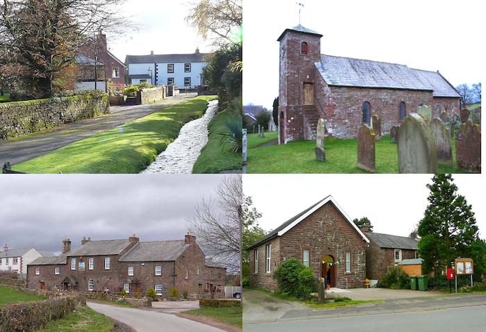
Cumwhitton
- Overview About Cumwhitton Map Street View Cumwhitton is a small village and civil parish close to Carlisle in Cumbria, England. It lies just east of the M6 and the …
Co-Curate Page
Church of St Mary, Cumwhitton
- Overview Map Street View St Mary's Church in Cumwhitton dates from c.1160AD. The North arcade of three bays from c.1200AD.[1] The chuch tower was built in the early 19th century[2], …
Co-Curate Page
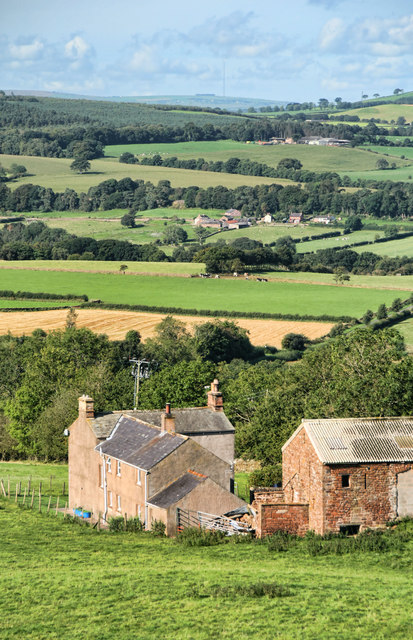
Moorthwaite, Carlisle
- Overview Map Street View Moorthwaite is a hamlet in the City of Carlisle district of Cumbria, located about 7½ miles south-west of the centre of Carlisle and 7 miles south …
Co-Curate Page
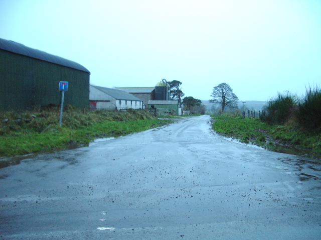
Northsceugh
- Overview Map Street View High Northsceugh and Low Northsceugh are farms / hamlets in Cumbria, located about 8 miles south-east of Carlisle. Low Northsceugh is located by Northsceugh Beck, and …

Co-Curate Page
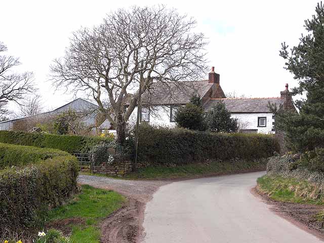
Cumwhitton
- Overview About Cumwhitton Map Street View Cumwhitton is a small village and civil parish close to Carlisle in Cumbria, England. It lies just east of the M6 and the …
Co-Curate Page
Church of St Mary, Cumwhitton
- Overview Map Street View St Mary's Church in Cumwhitton dates from c.1160AD. The North arcade of three bays from c.1200AD.[1] The chuch tower was built in the early 19th century[2], …
Co-Curate Page
Moorthwaite, Carlisle
- Overview Map Street View Moorthwaite is a hamlet in the City of Carlisle district of Cumbria, located about 7½ miles south-west of the centre of Carlisle and 7 miles south …