Topics > Northumberland > Cottonshope Head
Cottonshope Head
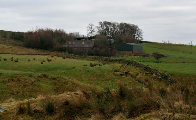
Cottonshope Head is a remote farm building, located 9½ miles north-west of Otterburn and 3¼ miles north-east of Byrnes. It is situated in the upper valley of Cottonshope Burn. A building at Cottonshope Head was first recorded in Elsdon Parish Registers in the late 17th century.[1] There are a couple of ruined buildings in the vicinity. Cottonshope Head is in the 1860 Northumberland Farms Index, listed under Rochester township in the ancient parish of Elsdon. Today, Cottonshope is part of Rochester with Byrness Civil Parish. Cottonshope Head can be accessed from Cottonshope Road, a minor road off the A68, with a junction between Cottonshopeburnfoot and Low Byrness. Cottonshope Road runs in a roughly north-easterly direction for 4 miles, connecting with Dere Street (Roman Road). Cottonshope Head is within the MOD training area. A disused quarry here, Cottonshope Head Quarry, is the site of a Lower Carboniferous lava flow, and is a Site of Special Scientific Interest (SSSI).


from https://keystothepast.info/se…
Cottonshope Head (Rochester and Byrness)
- The earliest recorded date for a building at Cottonshope Head is in the Elsdon Parish Registers of 1693 to 1722. The present building was still occupied in the 1970s....
Added by
Simon Cotterill

from https://keystothepast.info/se…
Cottonshope Head (Rochester and Byrness)
- The earliest recorded date for a building at Cottonshope Head is in the Elsdon Parish Registers of 1693 to 1722. The present building was still occupied in the 1970s....
Added by
Simon Cotterill