Topics > Northumberland > Cottonshope
Cottonshope
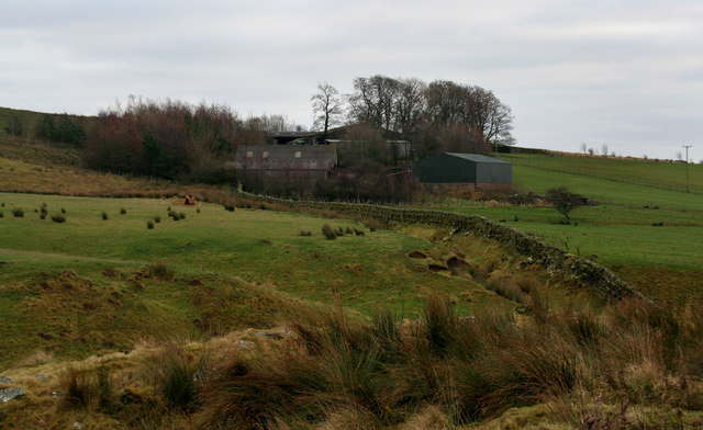
Cottonshope is a remote farm, located 9 miles north-west of Otterburn and 2 miles north-east of Byrnes. The farm is situated in the valley of Cottonshope Burn. There are records indicating that the agricultural system here was affected by Scottish invasions in the 14th century.[1] The farm is in the 1860 Northumberland Farms Index, listed under Rochester township in the ancient parish of Elsdon. Today, Cottonshope is part of Rochester with Byrness Civil Parish. The farm can be accessed from Cottonshope Road, a minor road off the A68, with a junction between Cottonshopeburnfoot and Low Byrness. Cottonshope Road runs in a roughly north-easterly direction for 4 miles, connecting with Dere Street (Roman Road).


from https://keystothepast.info/se…
Cottonshope (Rochester and Byrness)
- Documentary evidence from the Newminster Cartulary and the National Archives, suggests the agricultural system here was affected by Scottish invasions in the 14th century. Until that time farming was based …
Added by
Simon Cotterill