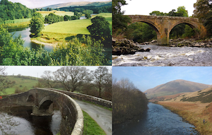
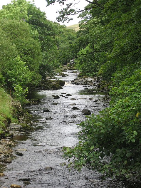
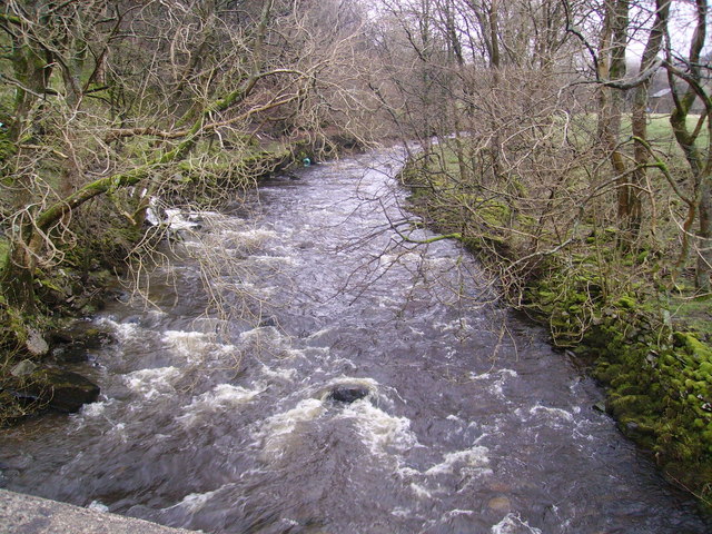
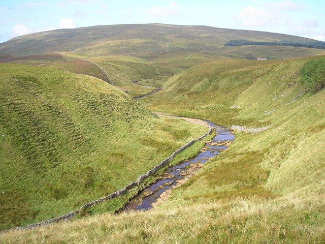
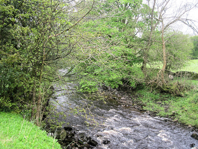
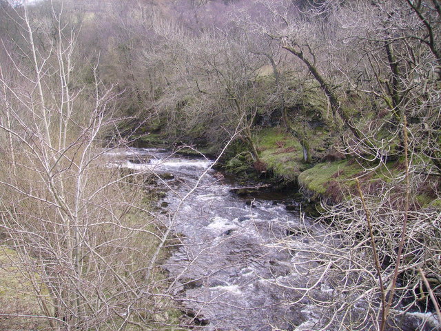
Topics > Cumbria > Rivers in Cumbria > River Lune (Cumbria) > River Rawthey > Clough River
Co-Curate Page
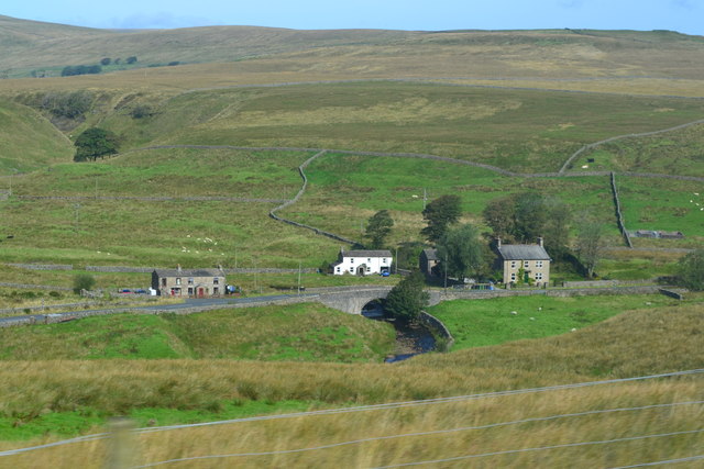
Garsdale ('The Street')
- Overview About Garsdale Map Street View Garsdale is the valley of the Clough River in Cumbria; it's main settlement is known as 'The Street' (or just 'Garsdale') and is spread …
Co-Curate Page
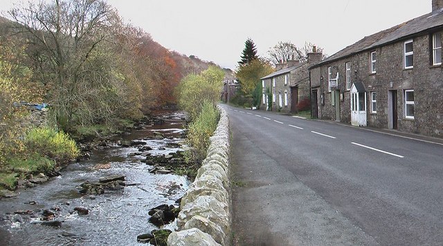
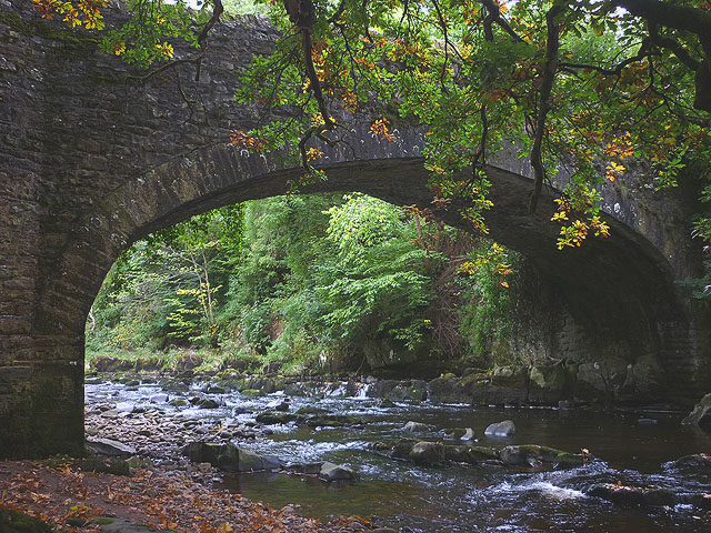
Kirk Bridge, Garsdale
- Overview Map Street View Kirk Bridge carries Hawes Road (the A684) over Clough River in Garsdale. The stone bridge dates from the late 17th or early 18th century. In 1834, …
Co-Curate Page
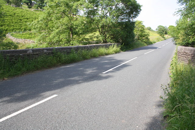
Mill Bridge, A684
- Overview Map Street View Mill Bridge carries Hawes Road (A684) over Clough River, east of Garsdale in Cumbria. The 19th century stone bridge is Grade II listed on the National …
Co-Curate Page
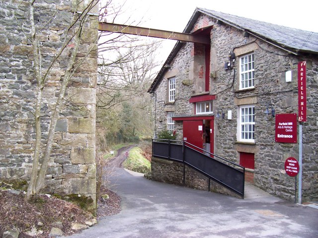
Farfield Mill, Sedbergh
- Overview Map Street View Farfield Mill, by the Clough River, is a former woollen mill, which operated from 1837 to 1992. It is located on a minor road off the …
Co-Curate Page
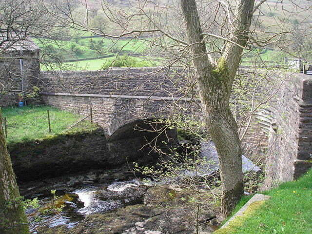
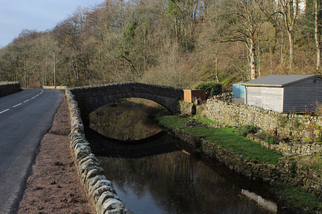
Garsdale Bridge by Farfield Mill
- Overview Map Garsdale Bridge is located a short distance north-west of Farfield Mill, about a mile east of the town of Sedbergh. It carries a minor road over Clough River. …
Co-Curate Page
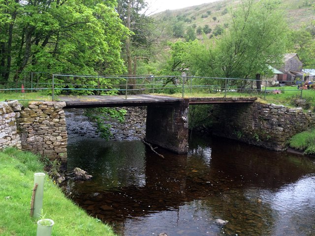
Ben's Bridge, Garsdale
- Overview Map Street View Ben's Bridge is a former packhorse bridge over Clough River, in Garsdale, located off Hawes Road (A684), near Dandra Garth. The bridge is though to date …

Co-Curate Page
Garsdale ('The Street')
- Overview About Garsdale Map Street View Garsdale is the valley of the Clough River in Cumbria; it's main settlement is known as 'The Street' (or just 'Garsdale') and is spread …
Co-Curate Page
Kirk Bridge, Garsdale
- Overview Map Street View Kirk Bridge carries Hawes Road (the A684) over Clough River in Garsdale. The stone bridge dates from the late 17th or early 18th century. In 1834, …
Co-Curate Page
Mill Bridge, A684
- Overview Map Street View Mill Bridge carries Hawes Road (A684) over Clough River, east of Garsdale in Cumbria. The 19th century stone bridge is Grade II listed on the National …
Co-Curate Page
Farfield Mill, Sedbergh
- Overview Map Street View Farfield Mill, by the Clough River, is a former woollen mill, which operated from 1837 to 1992. It is located on a minor road off the …
Co-Curate Page
Garsdale Bridge by Farfield Mill
- Overview Map Garsdale Bridge is located a short distance north-west of Farfield Mill, about a mile east of the town of Sedbergh. It carries a minor road over Clough River. …