Topics > Northumberland > Clarewood
Clarewood
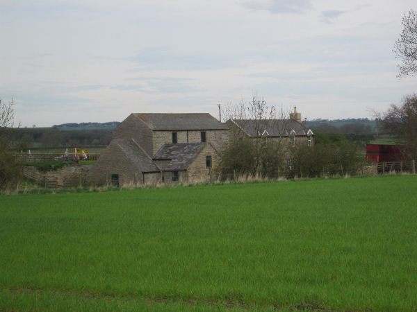
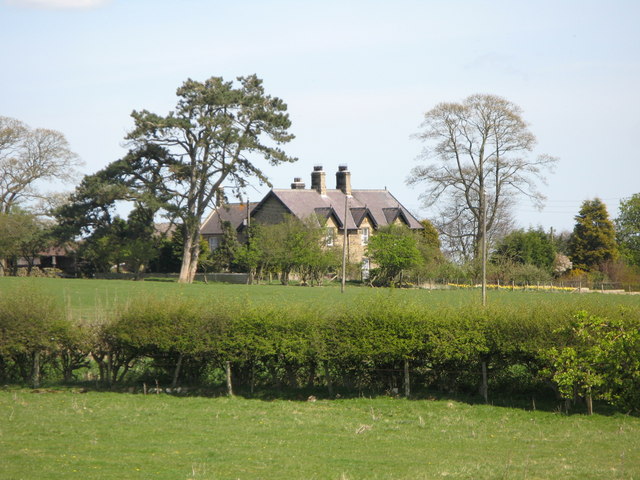
CLAREWOOD, a township, in the parish of Corbridge, union of Hexham, E. division of Tindale ward, S. division of Northumberland, 8½ miles (N.E. by E.) from Hexham; containing 55 inhabitants. It is a small village, seated on an eminence, north from the Roman station of Halton-Chesters. Adjoining is a small colliery.
Extract from: A Topographical Dictionary of England comprising the several counties, cities, boroughs, corporate and market towns, parishes, and townships..... 7th Edition, by Samuel Lewis, London, 1848.
Clarewood became a civil parish following the 1866 Poor Law Amendment Act. In 1955, the civil parishes Great Whittington, Bingfield, Clarewood, Hallington and Halton - were meged to form Whittington Civil Parish.
See also: the entry for Clarewood in Whellan's directory, 1855

from https://keystothepast.info/se…
Clarewood (Whittington)
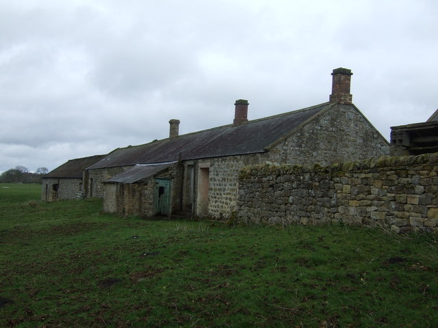
- "This is the site of the deserted medieval village of Clarewood, first recorded in 1296. It survived as a village until the late 17th century when most people left. By …
Added by
Simon Cotterill

Co-Curate Page
Corbridge Parish, 1848
- CORBRIDGE (St. Andrew), a parish, in the union of Hexham, E. division of Tindale ward, S. division of Northumberland; comprising the townships of Aydon, Aydon-Castle, Clarewood, Corbridge, Dilston, Halton, Halton-Shields, …

from https://keystothepast.info/se…
Clarewood (Whittington)
- "This is the site of the deserted medieval village of Clarewood, first recorded in 1296. It survived as a village until the late 17th century when most people left. By …
Added by
Simon Cotterill


