Topics > Civil Parishes in Cumbria > Castle Carrock Civil Parish > Castle Carrock Parish, 1848
Castle Carrock Parish, 1848
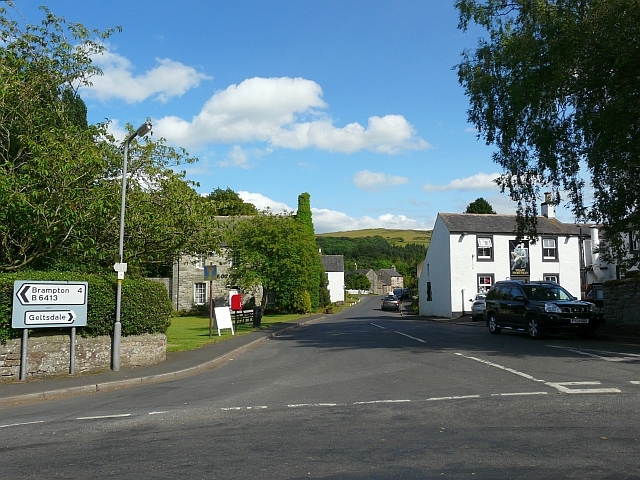
CASTLE-CARROCK (St. Peter), a parish, in the union of Brampton, Eskdale ward, E. division of Cumberland, 4½ miles (S. by E.) from Brampton; containing 351 inhabitants. The parish comprises about 5,500 acres, the soil of which on the west is dry, gravelly, and very stony; and on the east, which is rugged and mountainous, good for grazing, resting on extensive beds of limestone and freestone. It is bounded on the east and north by the small river Gelt, which rises in the royal forest of Geltsdale, a hilly tract of moorland. The living is a discharged rectory, valued in the king's books at £5. 12. 11.; net income, £159; patrons, the Dean and Chapter of Carlisle. The tithes were commuted for land in 1801. The church is a neat structure, built of freestone in 1828. The former edifice is supposed to have been built out of the ruins of an ancient castle that stood within an intrenchment near the village, the lines of which are distinctly visible: there is another intrenchment at a short distance. Upon the summit of a long and lofty fell, forming the northern point of the range of mountains extending from Cross Fell, near Alston, are two cairns, one of which, called Hespeckraise, is of considerable magnitude: on the removal of another cairn near Gelt Bridge, about 1775, a human skeleton was discovered in a species of coffin made of rude stones. Near the church is a mineral spring, the water of which is of the same quality as that of Gilsland spa.
Extract from: A Topographical Dictionary of England comprising the several counties, cities, boroughs, corporate and market towns, parishes, and townships..... 7th Edition, by Samuel Lewis, London, 1848.


