Topics > Civil Parishes in Cumbria > Castle Carrock Civil Parish
Castle Carrock Civil Parish
Area: 12.3 km2
Population:
318 (2021 Census)
328 (2011 Census)
303 (2001 Census)
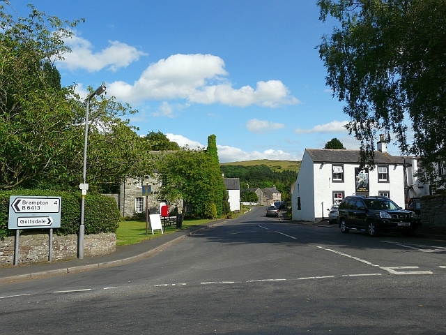
Main settlement: Castle Carrock (village)
 Castle Carrock - WW1 © Stuart Nicholson (WMR-4296)
Co-Curate Page
Castle Carrock
- Overview About Castle Carrock Map Street View Castle Carrock is a village and civil parish on the B6413 road, in the City of Carlisle District, in the English county …
from https://www.castlecarrock.com…
Castle Carrock Parish Council
- Parish Council details and documents on castlecarrock.com
Added by
Simon Cotterill


