Topics > County Durham > Burnigill

Burnigill


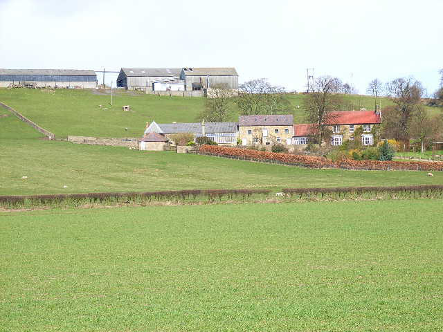
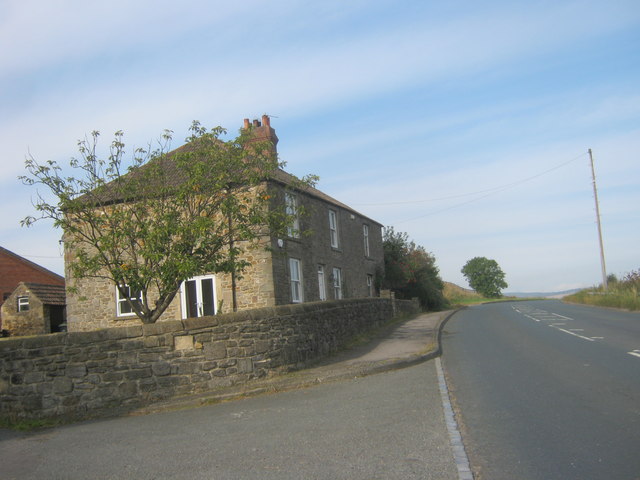
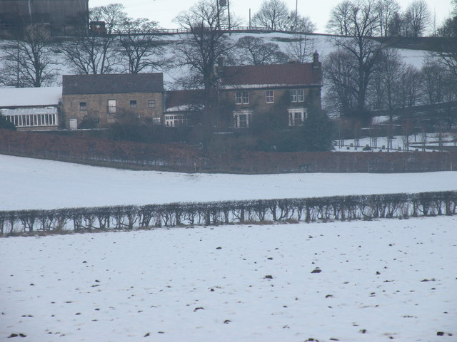
Burnigill - including farms at High Burnigill and Low Burnigill.

County Durham Brancepeth Civil Parish
from Geograph (geograph)
Burnigill Farm, near Sunderland Bridge

Pinned by Peter Smith
from Geograph (geograph)
Farmhouse at High Burnigill Farm

Pinned by Peter Smith
from Geograph (geograph)
Low Burngill Farm

Pinned by Peter Smith
from Geograph (geograph)
The B6300 & Highburn Gill Farm

Pinned by Peter Smith
from Geograph (geograph)
View over valley of River Browney

Pinned by Peter Smith

Comments

Add a comment or share a memory.

Login to add a comment. Sign-up if you don't already have an account.


ABOUT US

Co-Curate is a project which brings together online collections, museums, universities, schools and community groups to make and re-make stories and images from North East England and Cumbria. Co-Curate is a trans-disciplinary project that will open up 'official' museum and 'un-officia'l co-created community-based collections and archives through innovative collaborative approaches using social media and open archives/data.

LATEST SHARED RESOURCES