Topics > Tyne and Wear > Gateshead > Blackhall Mill
Blackhall Mill
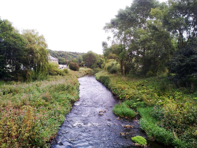
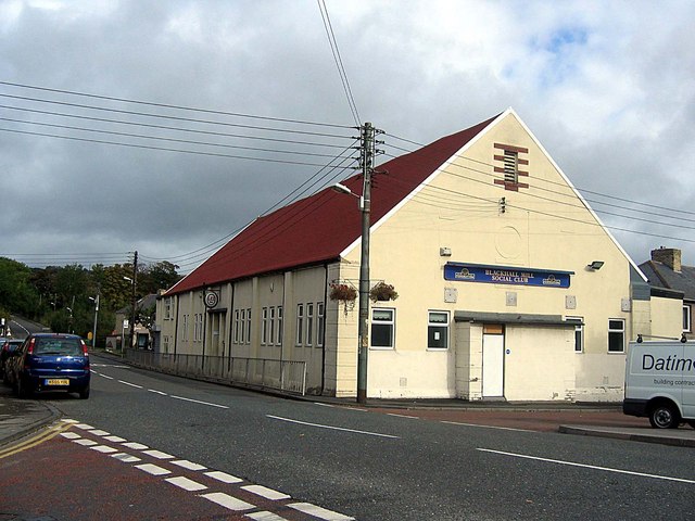
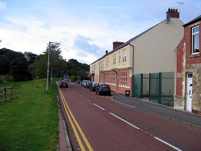
Blackhall Mill is a village in Gateshead just south of Chopwell. It is situated on the noth bank of the River Derwent opposite Hamsterley in County Durham, on the south bank.
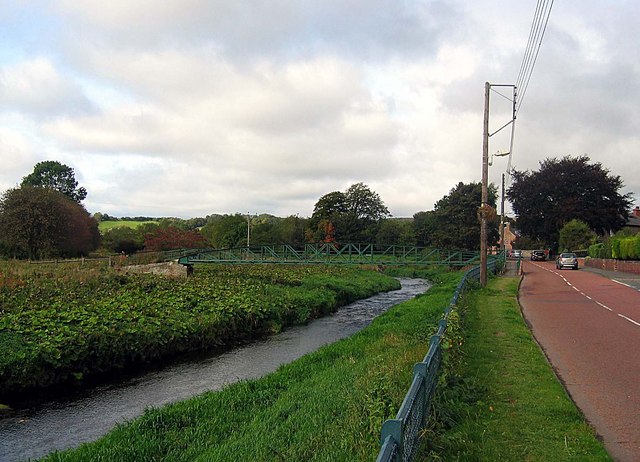
from Geograph (geograph)
Footbridge connecting Hamsterley and Blackhall Mill
Pinned by Simon Cotterill
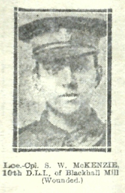
from IllustratedChronicles (flickr)
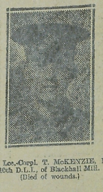
SW McKenzie - 10th DLI - Blackhall Mill (Wounded)
Pinned by Simon Cotterill
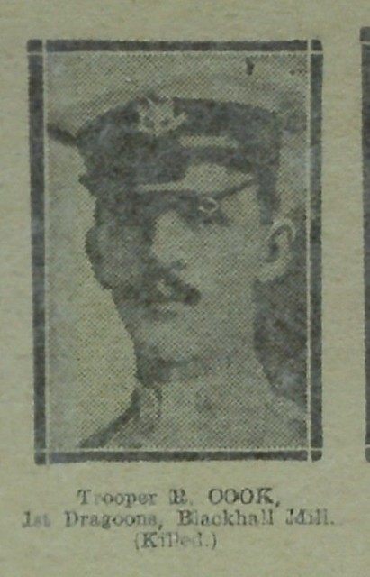
from IllustratedChronicles (flickr)
R Cook - 1st Dragoons - Blackhall Mill (Killed)
Pinned by Simon Cotterill
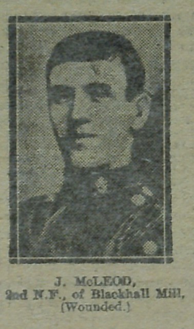
from IllustratedChronicles (flickr)
J McLeod - 2nd NF - Blackhall Mill (Wounded)
Pinned by Simon Cotterill

from https://sitelines.newcastle.g…
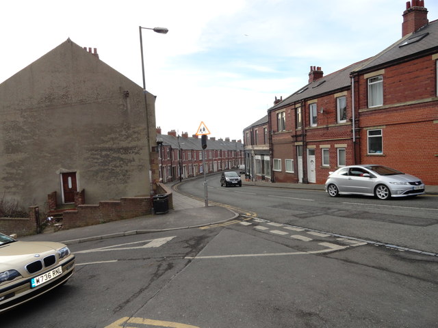
Tyne and Wear HER(3405): Blackhall Mill, Blackhall Mill
- Documentary Evidence of the mill that gave the village its name. "Blackhall Mill is shown on a map of 'Blackhall Mill c.1790' and on the 1st edition Ordnance Survey plan."
Added by
Simon Cotterill
Co-Curate Page
Chopwell
- Overview About Chopwell Map Street View CHOPWELL, a township, in the parish of Ryton, union of Gateshead, W. division of Chester ward, N. division of the county of Durham, 11½ …


from Geograph (geograph)
Footbridge connecting Hamsterley and Blackhall Mill
Pinned by Simon Cotterill

from IllustratedChronicles (flickr)
SW McKenzie - 10th DLI - Blackhall Mill (Wounded)
Pinned by Simon Cotterill

from IllustratedChronicles (flickr)
R Cook - 1st Dragoons - Blackhall Mill (Killed)
Pinned by Simon Cotterill

from IllustratedChronicles (flickr)
J McLeod - 2nd NF - Blackhall Mill (Wounded)
Pinned by Simon Cotterill

from https://sitelines.newcastle.g…
Tyne and Wear HER(3405): Blackhall Mill, Blackhall Mill
- Documentary Evidence of the mill that gave the village its name. "Blackhall Mill is shown on a map of 'Blackhall Mill c.1790' and on the 1st edition Ordnance Survey plan."
Added by
Simon Cotterill


