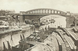
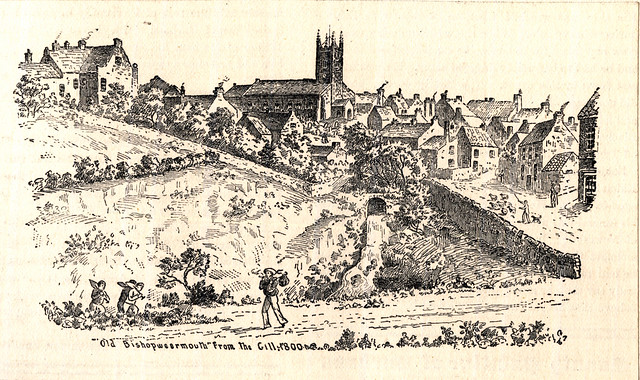
Topics > Tyne and Wear > Sunderland > Bishopwearmouth > Bishopwearmouth Conservation Area
Bishopwearmouth Conservation Area
%
Note: Map data from Sunderland City Council c/o Open Data UK, under the Open Government Licence, imported into Google MyMaps, February 2026. Check with SCC for amendments and updates.

from http://www.sunderland.gov.uk/…
Bishopwearmouth Conservation Area - Character Appraisal and Management Strategy
- Sunderland City Council, 2007
Includes a detailed history of Bishopwearmouth
Added by
Simon Cotterill

from http://www.twsitelines.info/s…
Tyne and Wear HER(11946): Bishopwearmouth Conservation Area
- SiteLines - Historic Environment Record
"Designated in 1969. Extended in 1989 to take in surrounding 19th and 20th century development. It comprises fine Victorian and Edwardian buildings set within the …
Added by
Simon Cotterill

from http://www.sunderland.gov.uk/…
Bishopwearmouth Conservation Area - Character Appraisal and Management Strategy
- Sunderland City Council, 2007
Includes a detailed history of Bishopwearmouth
Added by
Simon Cotterill
from http://www.twsitelines.info/s…
Tyne and Wear HER(11946): Bishopwearmouth Conservation Area
- SiteLines - Historic Environment Record
"Designated in 1969. Extended in 1989 to take in surrounding 19th and 20th century development. It comprises fine Victorian and Edwardian buildings set within the …
Added by
Simon Cotterill