Topics > Northumberland > Old Bewick > Bewick Hill Moor Camp
Bewick Hill Moor Camp
Scheduled Monument area - based on Historic England data (Open Government Licence).
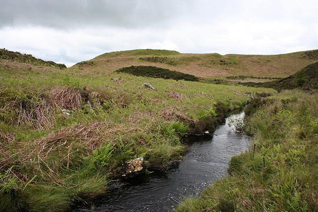
Bewick Hill Moor Camp is located about 2km ENE of Old Bewick in Northumberland. It is a multivallate hillfort situated on a natural knoll, overlooking Harehope Burn. Bewick Hill Moor Camp is a Scheduled Monument (legally protected).

LIDAR - Image from opendata.hillforts.eu (CC-BY-SA), based on data from the Environment Agency - National LIDAR programme
EN0499 Bewick Hill Moor Camp, Northumberland
Click the headings below to expand (selected extracts from the Atlas of Hillforts of Britain and Ireland)
Lying 400m to the SE of Blawearie, overlooking Harehope Burn in the E, a small, multivallate hillfort lying on an artificially levelled natural knoll. At its maximum dimensions the hillfort measures 114m NW-SE by 92m transversely enclosing an area of 0.19ha and comprises two ramparts with a berm between. The substantial inner rampart is flanked in the W by a single eternal ditch 0.6m deep. The bank reaches a maximum height of 1.5m internally and 4.5m externally on its western side. Scarping on the remaining sides gives a maximum height of approximately 10m. The second, narrower outer bank is absent in the N where the ground falls away sharply. An external ditch protects the weaker area in the W and SW. A 7-20m wide berm separates the the inner and outer ramparts in the W and NW creating an additional enclosed area or annex. A single entrance lies in the NW of the outer rampart with slightly out-turned terminals. The bank of the northern terminal is thicker. A corresponding simple gap entrance cuts through the inner enclosure. The interior is bracken covered and no internal features are visible. The site is recorded on 1856-65 OS mapping but no excavation has taken place and is undated but presumed Iron Age.
Source: Lock, Gary and Ralston, Ian. 2024. Atlas of Hillforts of Britain and Ireland. Available at: https://hillforts.arch.ox.ac.uk (CC BY-SA 4.0)


from https://keystothepast.info/se…
Bewick Hill Moor Camp (Bewick)
- "Sited on the summit of a shoulder of land overlooking Harehope Burn, these earthworks include strong, natural defences on the north, east and south-east side. On these sides the naturally …
Added by
Simon Cotterill

from https://keystothepast.info/se…
Bewick Hill Moor Camp (Bewick)
- "Sited on the summit of a shoulder of land overlooking Harehope Burn, these earthworks include strong, natural defences on the north, east and south-east side. On these sides the naturally …
Added by
Simon Cotterill