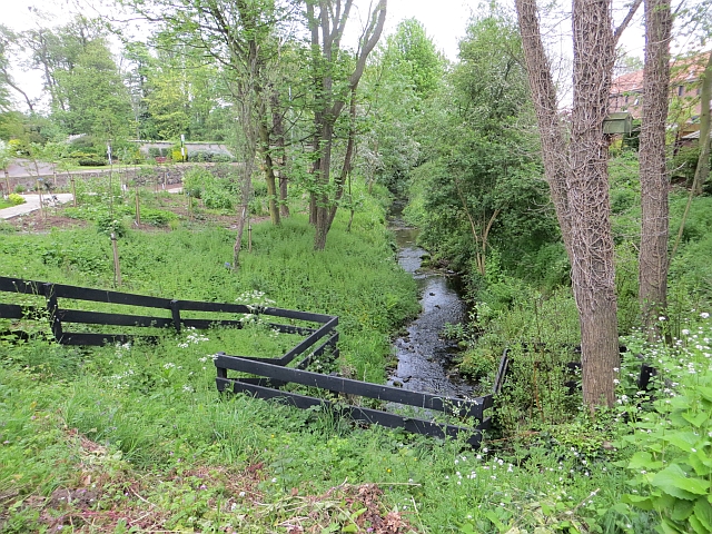
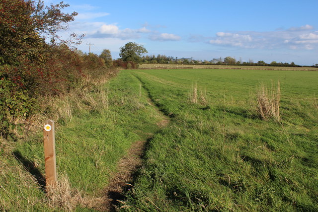
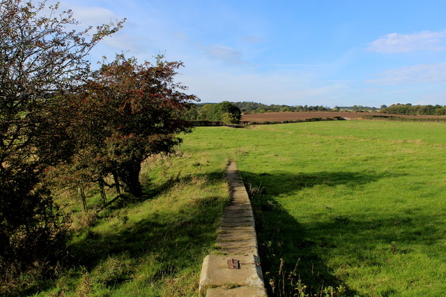
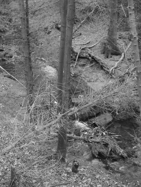
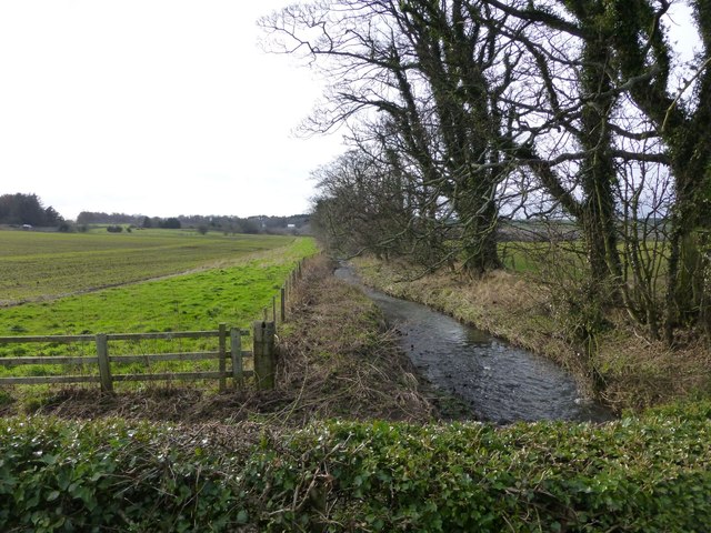
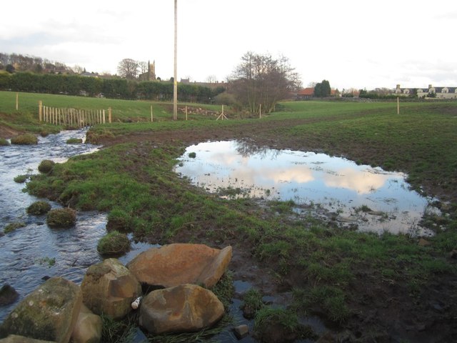
Topics > Geography > Rivers > Streams, Becks and Burns > Ross Low > Belford Burn

Belford Burn


Belford Burn is a small river in Northumberland. It arises near Belford Moor and flows roughly north-westerly, through the village of Belford before joining Ross Low, near Easington Grange. Belford Burn is about 9 km long and has a catchment area of 8.6 km2.[1] Ross Low discharges into Budle Bay.

Ross Low Belford
from Geograph (geograph)
Belford Burn

Pinned by Simon Cotterill
from Geograph (geograph)
Belford Burn

Pinned by Simon Cotterill
from Geograph (geograph)
Belford Burn

Pinned by Simon Cotterill
from Geograph (geograph)
Footpath beside Belford Burn

Pinned by Simon Cotterill
from Geograph (geograph)
Beside Belford Burn

Pinned by Simon Cotterill
from Geograph (geograph)
Belford Burn

Pinned by Simon Cotterill
from Geograph (geograph)
Belford Burn

Pinned by Simon Cotterill
from Geograph (geograph)
Belford Burn

Pinned by Simon Cotterill
from Geograph (geograph)
Recently created pond beside Belford Burn

Pinned by Simon Cotterill
from http://environment.data.gov.u…
Belford Burn from Source to Ross Low

Added by
Simon Cotterill
Belford
  Co-Curate Page
Belford
- Overview About Belford Map Street View   Belford is a village and civil parish in Northumberland, England, about halfway between Alnwick and Berwick-upon-Tweed, a few miles inland from the east …

Comments

Add a comment or share a memory.

Login to add a comment. Sign-up if you don't already have an account.


ABOUT US

Co-Curate is a project which brings together online collections, museums, universities, schools and community groups to make and re-make stories and images from North East England and Cumbria. Co-Curate is a trans-disciplinary project that will open up 'official' museum and 'un-officia'l co-created community-based collections and archives through innovative collaborative approaches using social media and open archives/data.

LATEST SHARED RESOURCES