Topics > Civil Parishes in Cumbria > Waterhead Civil Parish
Waterhead Civil Parish
Area: 18.4 km²
Population:
110 (2021 Census)
130 (2011 Census)
124 (2001 Census)
Co-Curate Page
Moscow
- Overview Map Street View Moscow Farm is locate about 1½ miles north-west of Gilsland in Cumbria. Moscow is close to the entrance to RAF Spadeadam, and near the county border …
Co-Curate Page
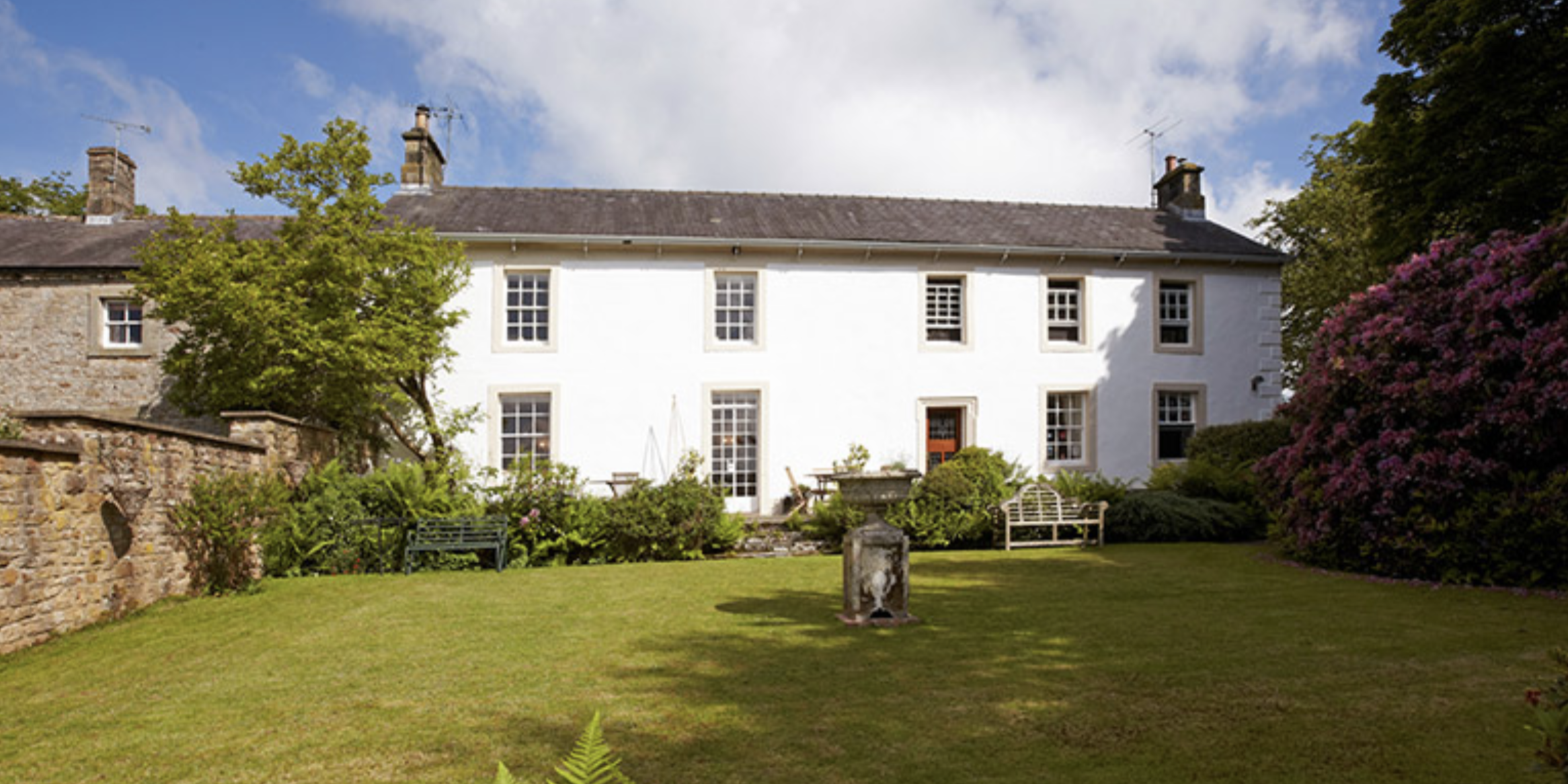
Gilsland Spa
- Overview Map Street View Gilsland Spa is a hamlet situated by a bend in the River Irthing in Cumbria, located by the county border about ¾ mile north of Gilsland, …
Co-Curate Page
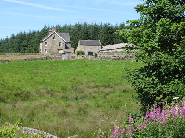
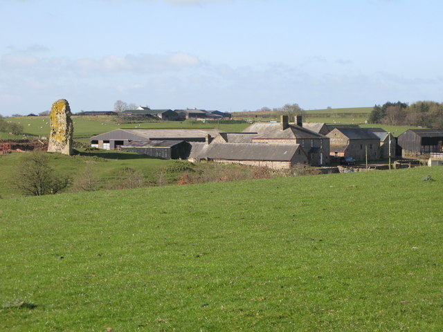
High House, near Gilsland
- Overview Map Street View HIgh House Farm is located about 2 miles West-South-West of Gilsland in Cumbria. The farmhouse and barn here date from 1677 and are Grade II listed …
Co-Curate Page
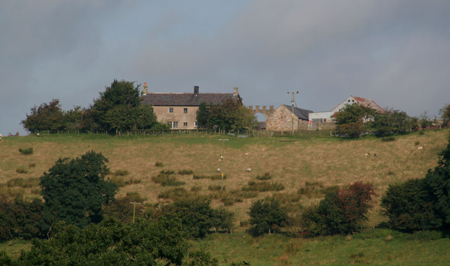
Triermain
- Overview Map Street View Triermain is a farm in Cumbria, close to the county border with Northumberland. It is located off the Military Road (B6318), about 2½ miles west of …

from https://www.cumbriacountyhist…
Waterhead
- "Township in Lanercost parish, Eskdale ward, Cumberland, enlarged by addition of part of Banks township in 19th century..... Gilsland Spa, noted for its curative qualities by later 17th century, became …
Added by
Simon Cotterill

Co-Curate Page
Moscow
- Overview Map Street View Moscow Farm is locate about 1½ miles north-west of Gilsland in Cumbria. Moscow is close to the entrance to RAF Spadeadam, and near the county border …
Co-Curate Page
Gilsland Spa
- Overview Map Street View Gilsland Spa is a hamlet situated by a bend in the River Irthing in Cumbria, located by the county border about ¾ mile north of Gilsland, …
Co-Curate Page
High House, near Gilsland
- Overview Map Street View HIgh House Farm is located about 2 miles West-South-West of Gilsland in Cumbria. The farmhouse and barn here date from 1677 and are Grade II listed …
Co-Curate Page
Triermain
- Overview Map Street View Triermain is a farm in Cumbria, close to the county border with Northumberland. It is located off the Military Road (B6318), about 2½ miles west of …
from https://www.cumbriacountyhist…
Waterhead
- "Township in Lanercost parish, Eskdale ward, Cumberland, enlarged by addition of part of Banks township in 19th century..... Gilsland Spa, noted for its curative qualities by later 17th century, became …
Added by
Simon Cotterill