Topics > Civil Parishes in Cumbria > Upper Denton Civil Parish
Upper Denton Civil Parish
Area: 4.2 km²
Population:
<100 (2021 Census)
<100 (2011 Census)
86 (2001 Census)
Co-Curate Page
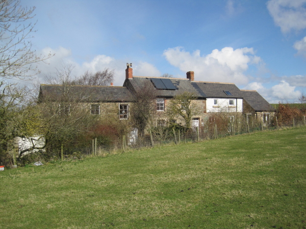
Upper Denton
- Overview About Upper Denton Map Street View Upper Denton is a hamlet in the Carlisle district of Cumbria, located by the River Irthing, about 6 miles north-east of Brampton and …

Co-Curate Page
Upper Denton, 1848
- DENTON, UPPER, a parish, in the union of Brampton, Eskdale ward, E. division of Cumberland, 6 miles (E.N.E.) from Brampton; containing 127 inhabitants. It comprises by computation 1,100 acres, about …


Co-Curate Page
Upper Denton
- Overview About Upper Denton Map Street View Upper Denton is a hamlet in the Carlisle district of Cumbria, located by the River Irthing, about 6 miles north-east of Brampton and …


