Topics > Tyne and Wear > Sunderland > Hendon > The Hendon Grange, Sunderland

The Hendon Grange, Sunderland


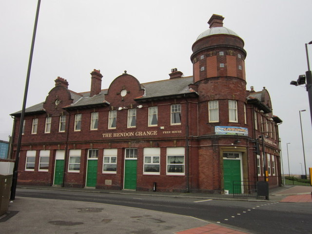
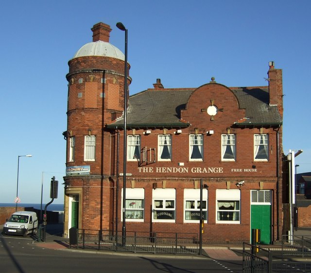
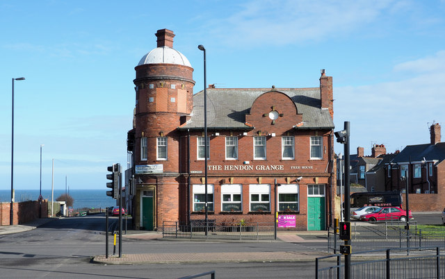
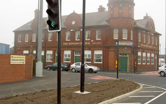
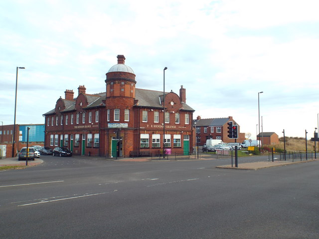
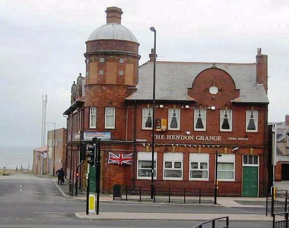
The Hendon Grange is a public house loacted on Ocean Road, by the junction with the A1018 road, in Hendon, Sunderland. The Hendon Grange public house is shown on the First Edition Ordnance Survey map of 1856.[1]

Hendon Grangetown Public Houses
from Geograph (geograph)
The Hendon Grange public house

Pinned by Splat
from Geograph (geograph)
The Hendon Grange pub

Pinned by Splat
from Geograph (geograph)
The Hendon Grange

Pinned by Splat
from Geograph (geograph)
The Hendon Grange Free House

Pinned by Splat
from Geograph (geograph)
The Hendon Grange pub, Grangetown, Sunderland

Pinned by Splat
from Geograph (geograph)
The Hendon Grange Ocean Road East Sunderland

Pinned by Splat
from https://sitelines.newcastle.g…
Tyne and Wear HER(16628): Hendon, Hendon Grange, public house
- "Hendon Grange public house shown on First Edition Ordnance Survey plan, 1856...."

Added by
Splat

Comments

Add a comment or share a memory.

Login to add a comment. Sign-up if you don't already have an account.


Tyne & Wear HER: 16628
Grid ref: NZ40995475
Post code: SR2 9QU
Borough: Sunderland

ABOUT US

Co-Curate is a project which brings together online collections, museums, universities, schools and community groups to make and re-make stories and images from North East England and Cumbria. Co-Curate is a trans-disciplinary project that will open up 'official' museum and 'un-officia'l co-created community-based collections and archives through innovative collaborative approaches using social media and open archives/data.

LATEST SHARED RESOURCES