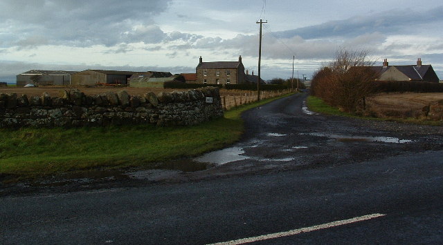
Topics > Northumberland > South Ord

from https://keystothepast.info/se…
Iron Age or Roman period enclosure north of South Ord (Ord)
- "An Iron Age or Roman rectilinear enclosure is visible as a cropmark on air photographs centred at NT 9850 5020. Only one corner is visible...."
Added by
Simon Cotterill

from https://keystothepast.info/se…
South Ord pit circle (Ord)
- The remains of a circle of pits shows up as a cropmark on aerial photographs taken in 1989....
Added by
Simon Cotterill


from https://keystothepast.info/se…
Iron Age or Roman period enclosure north of South Ord (Ord)
- "An Iron Age or Roman rectilinear enclosure is visible as a cropmark on air photographs centred at NT 9850 5020. Only one corner is visible...."
Added by
Simon Cotterill

from https://keystothepast.info/se…
South Ord pit circle (Ord)
- The remains of a circle of pits shows up as a cropmark on aerial photographs taken in 1989....
Added by
Simon Cotterill


