Topics > Northumberland > Shankfoot
Shankfoot
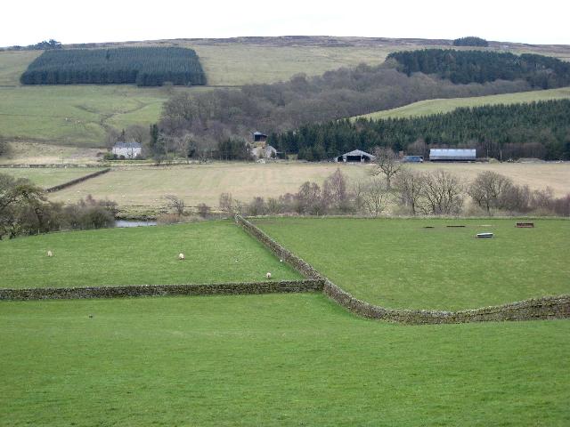
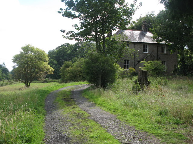
Shankfoot is a farm in Northumberland, located at the eastern end of Unthank Road. It is situated by Howden Burn, close to it's confluence with the River South Tyne.

from https://historicengland.org.u…
WESTERN FARMHOUSE AT SHANKFOOT - List Entry
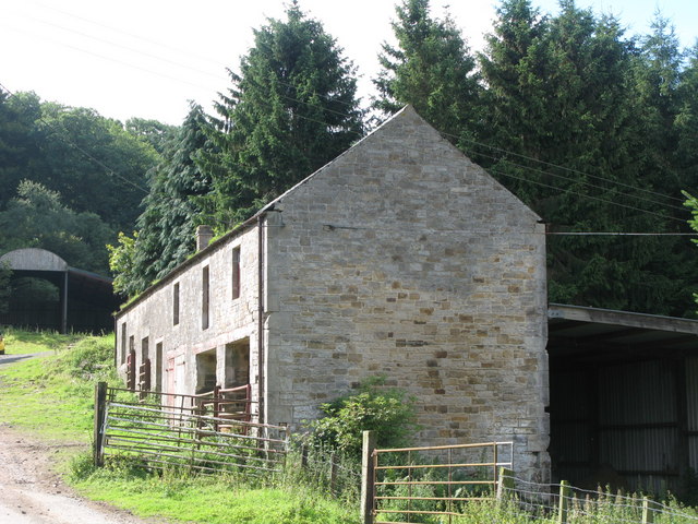
- House, late C17 remodelled early C19. Rubble with large roughly-shaped quoins, cut dressings; slate roof. 2 storeys, 3 bays, slightly irregular. ....old ceiling beams, 2 late C17 fireplaces with moulded …
Added by
Simon Cotterill

from https://historicengland.org.u…
WESTERN FARMHOUSE AT SHANKFOOT - List Entry
- House, late C17 remodelled early C19. Rubble with large roughly-shaped quoins, cut dressings; slate roof. 2 storeys, 3 bays, slightly irregular. ....old ceiling beams, 2 late C17 fireplaces with moulded …
Added by
Simon Cotterill


