Topics > Tyne and Wear > Newcastle upon Tyne > Sandyford
Sandyford
Sandyford is a district of Newcastle upon Tyne. It located in the east of the city, bordered by the City Centre and the districts of Jesmond, Heaton and Shieldfield.
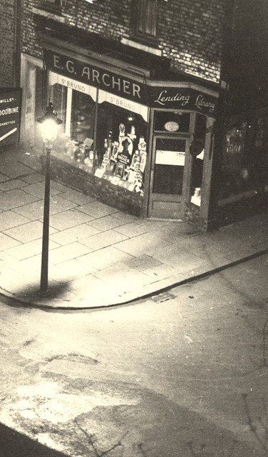
from Newcastle libraries (flickr)
042798:E.G. Archer Sandyford Road/Marianople Street Sandyford Unknown 1950
Pinned by Simon Cotterill
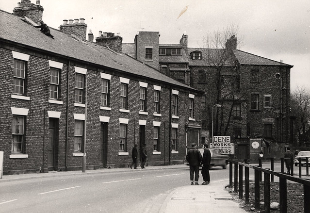
from Newcastle libraries (flickr)
042182:Sandyford Road, Newcastle upon Tyne, 1967
Pinned by Simon Cotterill
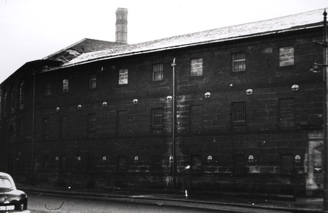
from Newcastle libraries (flickr)
051830:Deuchar's Brewery Sandyford Road Newcastle upon Tyne Unknown 1957/8
Pinned by Simon Cotterill
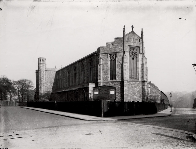
from Newcastle libraries (flickr)
029609:St. Barnabas Church Sandyford Unknown c.1928
Pinned by Simon Cotterill
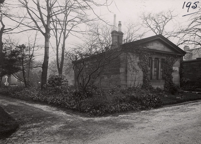
from Newcastle libraries (flickr)
036920:The lodge Jesmond Cemetery Sandyford Road Newcastle upon Tyne Unknown c.1935
Pinned by Simon Cotterill

from IllustratedChronicles (flickr)
T Leonard, Sandyford, killed in action
Pinned by Simon Cotterill
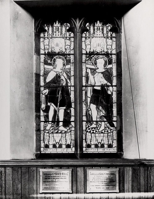
from Newcastle libraries (flickr)
029605:St. Barnabas Church Sandyford Unknown c.1928
Pinned by Simon Cotterill


from Newcastle libraries (flickr)
042798:E.G. Archer Sandyford Road/Marianople Street Sandyford Unknown 1950
Pinned by Simon Cotterill

from Newcastle libraries (flickr)
042182:Sandyford Road, Newcastle upon Tyne, 1967
Pinned by Simon Cotterill

from Newcastle libraries (flickr)
051830:Deuchar's Brewery Sandyford Road Newcastle upon Tyne Unknown 1957/8
Pinned by Simon Cotterill

from Newcastle libraries (flickr)
029609:St. Barnabas Church Sandyford Unknown c.1928
Pinned by Simon Cotterill

from Newcastle libraries (flickr)
036920:The lodge Jesmond Cemetery Sandyford Road Newcastle upon Tyne Unknown c.1935
Pinned by Simon Cotterill

from IllustratedChronicles (flickr)
T Leonard, Sandyford, killed in action
Pinned by Simon Cotterill

from Newcastle libraries (flickr)
029605:St. Barnabas Church Sandyford Unknown c.1928
Pinned by Simon Cotterill
Borough: Newcastle
