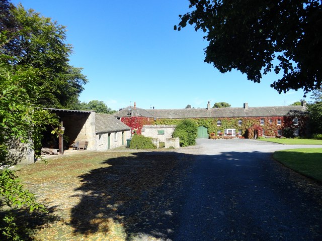
Apperley Dene

-
Description
"This complex was originally called Lead Hill and is beside the cross roads where Lead Lane crosses the old Roman road of Dere Street, now the B6309. It is shown on the 1864 First Series Ordnance Survey map and the planned courtyard style is typical mid Victorian." Photo by Robert Graham, 2016. -
Owner
Robert Graham -
Source
Geograph (Geograph) -
License
What does this mean? Creative Commons License
-
Further information
Link: http://www.geograph.org.uk/photo/5216557
Resource type: Image
Added by: Simon Cotterill
Last modified: 7 years, 7 months ago
Viewed: 749 times
Picture Taken: 2016-08-24 -
Co-Curate tags


