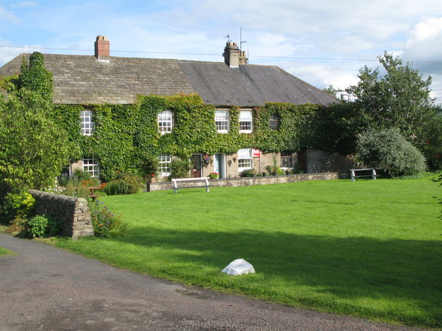
Local History: Melkridge

-
Description
"The civil parish of Melkridge lies approximately 3km east of Haltwhistle, on the uplands north of the River South Tyne. Geographically, it lies almost halfway between the east and west coasts of England, at the narrowest point in England. The first evidence of human activity in Melkridge is a field system created by farmers near Allery Burn between 2500 and 4500 years ago. Because metalworking technology was developed during this period, archaeologists call it the Bronze Age. It is likely that people lived and farmed in the area we now call Melkridge in the centuries before the Bronze Age, but archaeologists have not yet found the evidence to prove this. Many of the remains left by previous inhabitants of Melkridge are difficult to date but are certainly prehistoric in origin. Aerial photographs of Melkridge show at least ten separate areas of fields probably dating to the Bronze Age or Iron Age. An example can be seen at Rasting Gap....." -
Owner
Keys to the Past (Durham & Northumbria County Councils) -
Source
Local (Co-Curate) -
License
What does this mean? Unknown license check permission to reuse
-
Further information
Link: https://keystothepast.info/search-records/results-of-search/results-of-search-2/site-details/?PRN=N13398
Resource type: Text/Website
Added by: Simon Cotterill
Last modified: 7 years, 7 months ago
Viewed: 982 times
Picture Taken: Unknown -
Co-Curate tags


