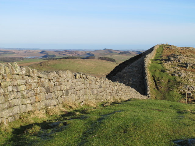
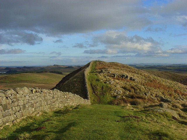
Hadrian's Wall at Turret 40a

-
Description
"Looking towards the [[2764914]] (half right). The high point in the distance (centre) is [[494389]]; on the left is Greenlee Lough, with King's Crags beyond and Queen's Crags between them and Sewingshields." Photo by Mike Quinn, 2012. -
Owner
Mike Quinn -
Source
Geograph (Geograph) -
License
What does this mean? Creative Commons License
-
Further information
Link: http://www.geograph.org.uk/photo/2765946
Resource type: Image
Added by: Peter Smith
Last modified: 7 years, 10 months ago
Viewed: 688 times
Picture Taken: 2012-01-13 -
Co-Curate tags


