Hadrian's Wall

-
Description
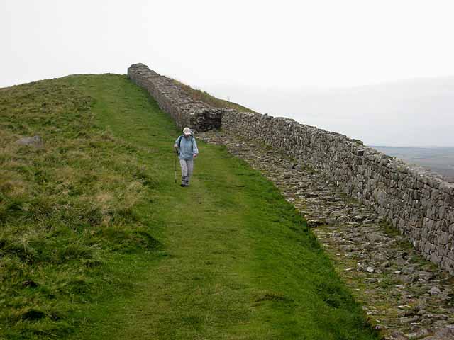
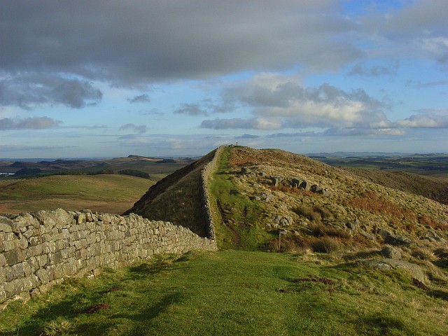
"The two arguably most popular National Trails - the oldest, the Pennine Way which runs 268 miles from Edale to Kirk Yetholm http://www.nationaltrail.co.uk/PennineWay/ and the newest, Hadrian's Wall National Trail which runs 84 miles from Bowness-on-Solway to Wallsend http://www.nationaltrail.co.uk/hadrianswall/ - join forces over the finest section of Hadrian's Wall http://en.wikipedia.org/wiki/Hadrians_Wall for some 12 Km. At this point just east of Winshields Crags, it is possible to see the foundations of the original Wall in the foreground, topped by a more recent field boundary wall; whilst further away, the full Roman wall can be seen." Photo by Oliver Dixon, 2008. -
Owner
Oliver Dixon -
Source
Geograph (Geograph) -
License
What does this mean? Creative Commons License
-
Further information
Link: http://www.geograph.org.uk/photo/1000288
Resource type: Image
Added by: Peter Smith
Last modified: 7 years, 10 months ago
Viewed: 637 times
Picture Taken: 2008-10-09 -
Co-Curate tags


