Housesteads fort, section of Wall and vallum between the field boundary west of milecastle 36 and the field boundary west of turret 37a in wall miles 36 and 37


-
Description
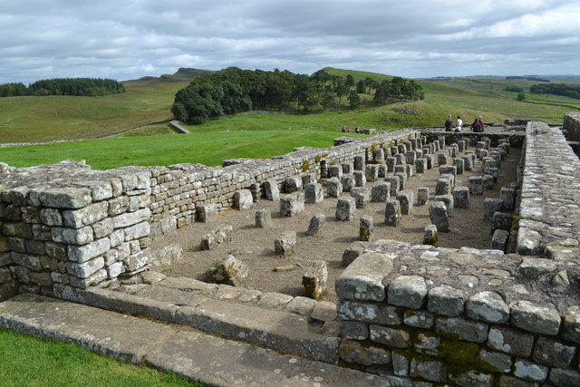
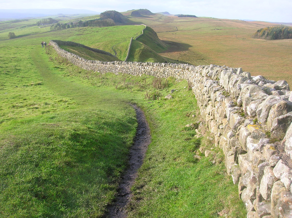
".....The monument includes Housesteads Roman fort and the section of Hadrian's Wall and vallum and their associated features between the field boundary west of milecastle 36 in the east and the field boundary west of turret 37a in the west. This section occupies the crest and down slope of the escarpment, defined to the north by Housesteads Crags and Cuddy's Crags and to the south by the B6318 road. Throughout most of this section Hadrian's Wall survives as an upstanding feature. To the east of the fort a 320m section of the Wall is consolidated and in the care of the Secretary of State...." -
Owner
Historic England -
Source
Local (Co-Curate) -
License
What does this mean? Unknown license check permission to reuse
-
Further information
Link: https://historicengland.org.uk/listing/the-list/list-entry/1018585
Resource type: Text/Website
Added by: Simon Cotterill
Last modified: 8 years, 2 months ago
Viewed: 937 times
Picture Taken: Unknown -
Co-Curate tags


