Moneylaws Hill


-
Description
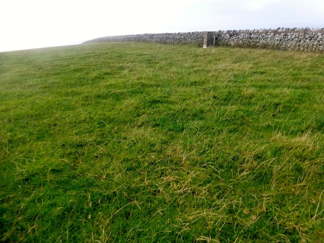
"Parked near gateway well above Barley Cottage to use obvious track then walked along wood edge then through two fields to summit near trig with Phil Cooper. Name: Moneylaws Hill Hill number: 5285 Height: 246.3m / 808ft Parent (Ma/M): 2318 Housedon Hill Section: 33: The Scottish Border to the River Tyne County/UA: Northumberland (CoU) Class: HuMP, Tump (200-299m), subMarilyn Grid ref: NT 87258 34720 Summit feature: no feature: ground 10m SE of trig point Drop: 140m Col: 106.3m NT 9064 3471" Photo by Rude Health , 2014. -
Owner
Rude Health -
Source
Geograph (Geograph) -
License
What does this mean? Creative Commons License
-
Further information
Link: http://www.geograph.org.uk/photo/4331896
Resource type: Image
Added by: Simon Cotterill
Last modified: 8 years, 2 months ago
Viewed: 647 times
Picture Taken: 2014-11-09 -
Co-Curate tags


