Cycleway, Seaton Burn

-
Description
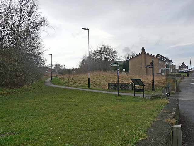
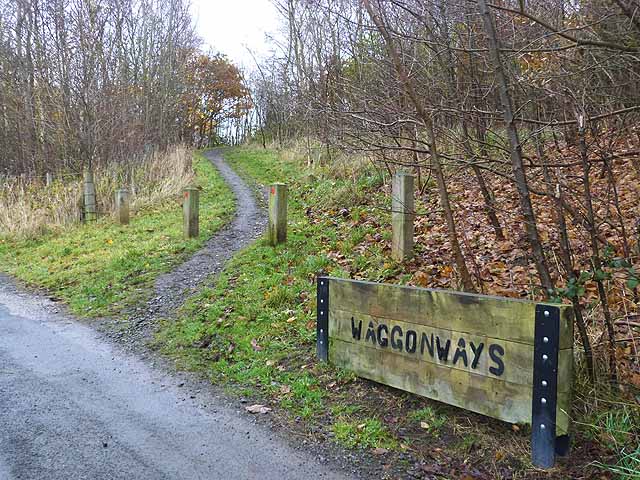
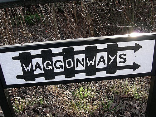
"The Seaton Burn waggonway was one of many http://www.tynelives.org.uk/stephenson/wagmap2.htm linking former coalmines in North Tyneside with the coal staithes on the Tyne. This view is taken near the northern end of the waggonway where it crosses the Old Great North Road (B1318) between Wideopen and Seaton Burn. Along with many other lengths of waggonway, this section has been converted into a cycle path in recent years and forms part of National Cycle Network, Regional Route 10 (the Reivers Cycle Route) http://www.cycle-n-sleep.co.uk/rinfo/map%20reivers.htm which links Tynemouth with Whitehaven via Kielder Forest and Carlisle." Photo by Oliver Dixon, 2012. -
Owner
Oliver Dixon -
Source
Geograph (Geograph) -
License
What does this mean? Creative Commons License
-
Further information
Link: http://www.geograph.org.uk/photo/2817315
Resource type: Image
Added by: Simon Cotterill
Last modified: 8 years, 3 months ago
Viewed: 757 times
Picture Taken: 2012-02-23 -
Co-Curate tags


