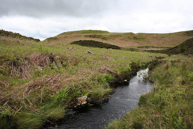
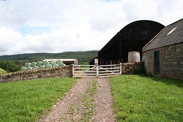
Bewick Hill Moor Camp (Bewick)

-
Description
"Sited on the summit of a shoulder of land overlooking Harehope Burn, these earthworks include strong, natural defences on the north, east and south-east side. On these sides the naturally steep slopes have been altered to make them even more formidable. Two banks defend the weaker west side. The outer bank survives up 2.5m, and the ditch is in places up to 3m deep. Hillforts such as this site belong to the Iron Age...." -
Owner
Keys to the Past (Durham & Northumbria County Councils) -
Source
Local (Co-Curate) -
License
What does this mean? Unknown license check permission to reuse
-
Further information
Link: https://keystothepast.info/search-records/results-of-search/results-of-search-2/site-details/?PRN=N3607
Resource type: Text/Website
Added by: Simon Cotterill
Last modified: 8 years, 7 months ago
Viewed: 636 times
Picture Taken: Unknown -
Co-Curate tags


