Frenchman's Bay

-
Description
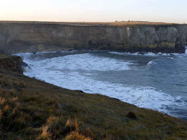
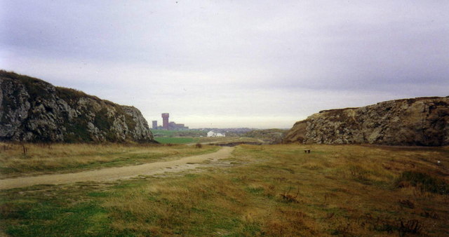
"Frenchman's Bay was once popular with smugglers and was named after a French ship that ran aground here in the 17th century. At one time it was a sandy bay, popular with visitors who descended the cliff by long wooden steps. The cliff rocks were formed in the Permian period, 280 to 245 million years ago, when South Shields lay near the Equator. The soft, yellow sandstone at the base which was eroded by the sea to form the bay was formed by desert sand 250 million years ago. The desert was flooded by a warm, tropical sea forming a thin layer of dark marl slate with a large deposit of Magnesian Limestone above. The upper part of this layer has been folded by an underwater landslip and is known as the Raisby Formation. The top layer of rocks in the cliff are Concretionary Limestone overlaid with Boulder Clay deposited in the Ice Ages. A large coastal defence battery was constructed at Frenchman’s Point in the years 1900-1905 with 9.2-inch and 6-inch guns and was maintained with varying armament as part of the Tyne defences until 1943. The site was later partially demolished and landscaped and now forms part of the Leas recreational area. The archaeology and history of the coast between South Shields and Whitburn was researched by the South Shields Arbeia Society in 2004." Photo by Andrew Curtis, 2009, and licensed for reuse under a Creative Commons Licence. -
Owner
Geograph.org.uk -
Source
Geograph (Geograph) -
License
What does this mean? Attribution-ShareAlike 2.0 Generic (CC BY-SA 2.0)
-
Further information
Link: http://www.geograph.org.uk/photo/1638009
Resource type: Text/Website
Added by: Simon Cotterill
Last modified: 9 years, 10 months ago
Viewed: 1466 times
Picture Taken: Unknown -
Co-Curate tags


