Urra Moor summit trig


-
Description
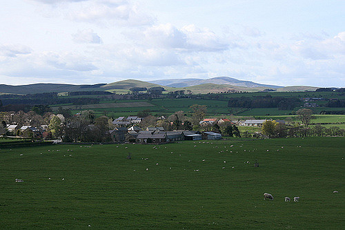
The trig point on the summit of Urra Moor, a hill in the Cleveland Hills of the North York Moors national park. The actual name of the summit it Round Hill, and this it what it is marked as on Ordnance survey maps. At 454m above sea level, it is the highest point in the North York Moors. Both the Cleveland way and the Lyke Wake walk pass the summit.. Photo taken from NZ594016 -
Owner
josephp14 -
Source
Flickr (Flickr) -
License
What does this mean? Attribution-NonCommercial License
-
Further information
Link: https://www.flickr.com/photos/81065776@N07/7543926310/
Resource type: Image
Added by: Simon Cotterill
Last modified: 9 years, 5 months ago
Viewed: 1020 times
Picture Taken: Unknown -
Co-Curate tags


