Waskerly Way Railway Path

-
Description
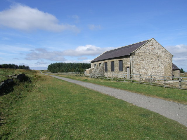
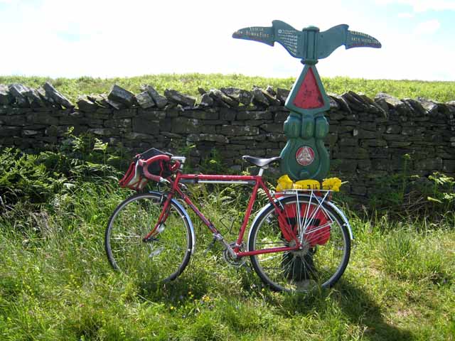
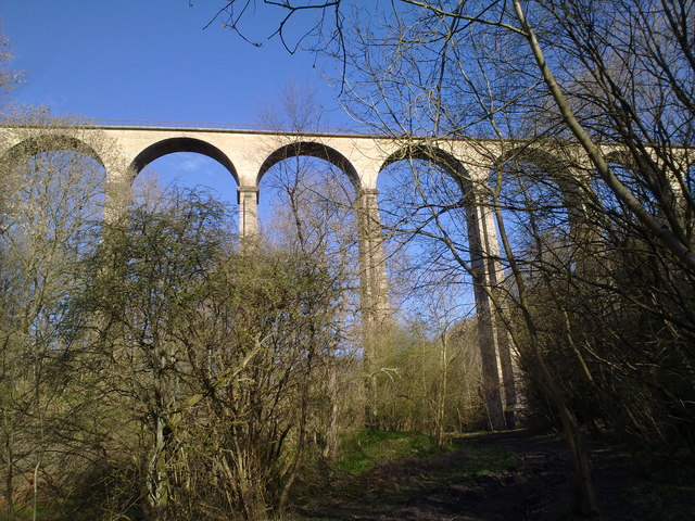
PDF leaflet including maps and pictures. "The Waskerley Way is a beautiful route passing through a varied landscape; from urban fringe through to upland sheep farms and then on to exposed heather moorland. Hownsgill Viaduct towers 46 metres above the tree canopy of Knitsley and High House Woods near Lydgetts Junction. This is one of the most impressive railway structures in the North East. From further up the Railway Path there are stunning views across Smiddy Shaw, Waskerley and Hisehope reservoirs. The variety of habitats allows a great number of plants and animalsto live here.Animalsinclude red and black grouse, merlin, adder, slow worm and butterflies...At Lydgetts Junction, this route joins the Lanchester Valley Railway Path,the Derwent Walk Railway Path and the Consett to Sunderland cycle route.The Waskerley Way also forms part of the C2C route,making this one of our busiest Railway Paths." -
Owner
Durham County Council -
Source
Local (Co-Curate) -
License
What does this mean? Unknown license check permission to reuse
-
Further information
Link: http://www.durham.gov.uk/media/4423/Railway-Path---Waskerley-Way/pdf/RailwayPathWaskerleyWay.pdf
Resource type: Text/Website
Added by: Pat Thomson
Last modified: 10 years, 4 months ago
Viewed: 1434 times
Picture Taken: Unknown -
Co-Curate tags


