Chesters Bridge Abutment

-
Description
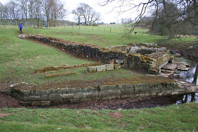
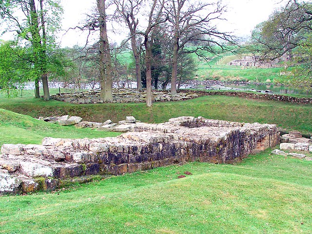
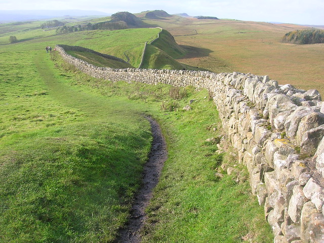
The east abutment of the bridge at Chesters which carried Hadrian's Wall across the North Tyne river. Hadrian's Wall can be seen running eastwards from the abutment. It was a fair detour to visit this, but well worth it, even with tired legs. We eventually made our way onwards across farm fields to the imaginatively named village of Wall where we had rooms booked... except it turned out they were already taken and were double booked. We were given the keys to the rooms Ok, it's just there was stuff in them already! Not what you want to hear after a very long day's walking. Fortunately they had spare capacity, so all was saved and turned out well in the end. https://maps.google.co.uk/maps/ms?msid=215102864999606069460.0004e9a3f99d52258aee5&msa=0&ll=55.02507,-2.230568&spn=0.114143,0.275688" >Day Four Route Map #69491 -
Owner
raggi di sole -
Source
Flickr (Flickr) -
License
What does this mean? All Rights Reserved (Seek permission to reuse)
-
Further information
Link: https://www.flickr.com/photos/28570255@N04/11451260445/
Resource type: Image
Added by: Simon Cotterill
Last modified: 9 years ago
Viewed: 898 times
Picture Taken: Unknown -
Co-Curate tags


