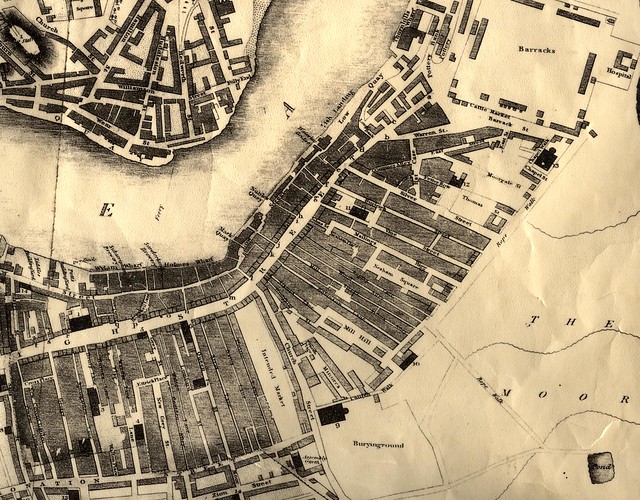
1826 - East End Map

-
Description
This map from 1826 shows the crowded conditions of the East End of Sunderland -
Owner
Sunderland Public Libraries -
Source
Sunderland Public Libraries (Flickr) -
License
What does this mean? Attribution-NonCommercial-ShareAlike License
-
Further information
Link: https://www.flickr.com/photos/33844814@N06/4194148341/
Resource type: Image
Last modified: 9 years ago
Viewed: 1583 times
Picture Taken: Unknown -
Co-Curate tags


