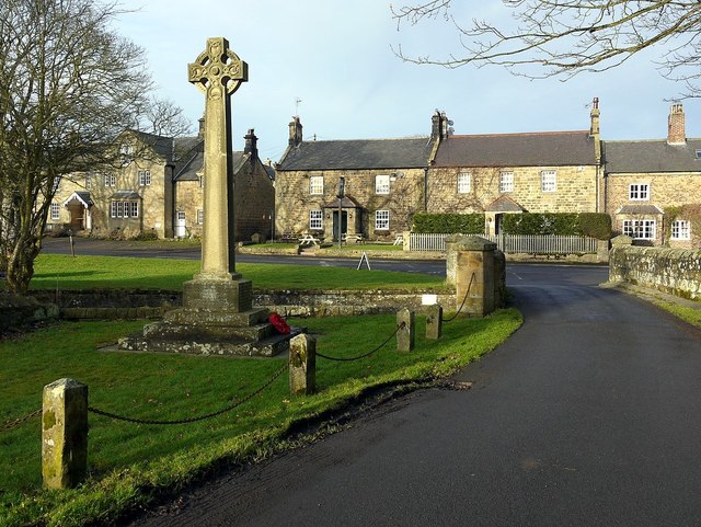
LIDAR image of East Matfen Deserted Medieval Village


-
Description
A lidar image derived from Environmental Agency open source data.gov.uk data (https://www.nationalarchives.gov.uk/doc/open-government-licence/version/3/" rel="noreferrer nofollow">www.nationalarchives.gov.uk/doc/open-government-licence/v...) via the houseprices.io lidar map. Image prepared by Dr John Wells c/o Wikimedia Commons. -
Owner
Simon_Cotterill -
Source
Flickr (Flickr) -
License
What does this mean? CC BY-SA 4.0
-
Further information
Link: https://www.flickr.com/photos/137828720@N06/55176994250/
Resource type: Image
Added by: Simon Cotterill
Last modified: 1 hour, 26 minutes ago
Viewed: 6 times
Picture Taken: 2026-03-29T22:21:10 -
Co-Curate tags

")


