Whin Sill near Housesteads


-
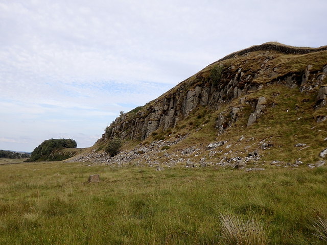
Description
"Whin Sill is an igneous intrusion which has formed a long almost linear escarpment north of the Tyne Valley. The Romans used the natural barrier as the border of their province of Britannia and fortified it by building Hadrian's Wall along the top. The view here is eastwards on the north side of the crags." Photo by Rudi Winter, 2018. -
Owner
Rudi Winter -
Source
Geograph (Geograph) -
License
What does this mean? Creative Commons License
-
Further information
Link: http://www.geograph.org.uk/photo/6162779
Resource type: Image
Added by: Simon Cotterill
Last modified: 2 months ago
Viewed: 50 times
Picture Taken: 2018-08-05 -
Co-Curate tags

