Whin Sill east of Housesteads


-
Description
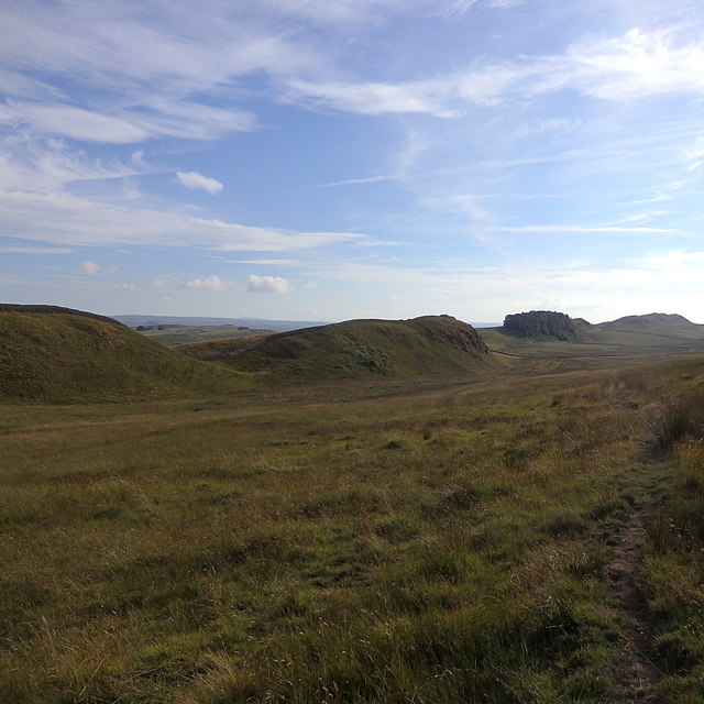
"The view follows a section of the escarpment, which has several breaches http://www.geograph.org.uk/photo/6169953 in it to give a wave-like impression http://www.geograph.org.uk/photo/6169329 . Hadrian's Wall follows the edge of the cliff. The Roman fort of Vercovicium https://www.geograph.org.uk/photo/6161062 at Housesteads is just in front of the clump of trees in the distance." Photo by Rudi Winter, 2018. -
Owner
Rudi Winter -
Source
Geograph (Geograph) -
License
What does this mean? Creative Commons License
-
Further information
Link: http://www.geograph.org.uk/photo/6169332
Resource type: Image
Added by: Simon Cotterill
Last modified: 2 months ago
Viewed: 47 times
Picture Taken: 2018-08-05 -
Co-Curate tags

