Hadrian's Wall north of King's Wicket


-
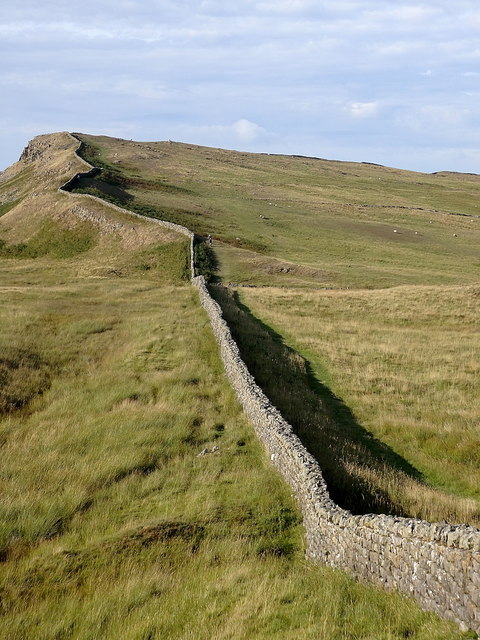
Description
"The actual wall shown here is not the original Roman design but has been built or altered by farmers later on, using stones from the original Roman curtain wall http://www.geograph.org.uk/photo/6170031 , remnants of which can be found a few metres east of the modern field wall in this section. The curtain wall of Hadrian's Wall was much wider, consisting of two stone walls about two metres apart and backfilled with rubble. The high point in the distance is the western end of Sewingshields Crags." Photo by Rudi Winter, 2018. -
Owner
Rudi Winter -
Source
Geograph (Geograph) -
License
What does this mean? Creative Commons License
-
Further information
Link: http://www.geograph.org.uk/photo/6170002
Resource type: Image
Added by: Simon Cotterill
Last modified: 1 month, 4 weeks ago
Viewed: 35 times
Picture Taken: 2018-08-05 -
Co-Curate tags


