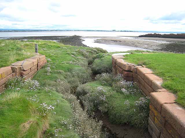
Hadrian's Wall National Trail near Port Carlisle


-
Description
"This section of Hadrian's Wall National Trail http://www.nationaltrail.co.uk/hadrianswall/ follows the line of the old Carlisle Canal which was completed in 1823 to connect Carlisle with deeper water in the Solway Firth. The canal which closed thirty years later can still be seen in the form of a ditch just to the right of the path. After closure a railway was laid along the course of the canal and remained open until 1964." Photo by Oliver Dixon, 2008. -
Owner
Oliver Dixon -
Source
Geograph (Geograph) -
License
What does this mean? Creative Commons License
-
Further information
Link: http://www.geograph.org.uk/photo/933211
Resource type: Image
Added by: Simon Cotterill
Last modified: 2 months, 2 weeks ago
Viewed: 65 times
Picture Taken: 2008-08-22 -
Co-Curate tags


")