Langley Barony Lead Mine - wall diverting Honeycrook Burn


-
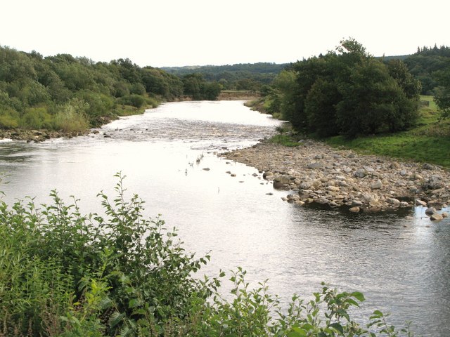
Description
"See [[5830877]]. The burn, running southwest down the valley, was diverted to the northwest for about 50 metres at this point, taking the water to the [[5831791]]." Photo by Mike Quinn, 2018. -
Owner
Mike Quinn -
Source
Geograph (Geograph) -
License
What does this mean? Creative Commons License
-
Further information
Link: http://www.geograph.org.uk/photo/5831782
Resource type: Image
Added by: Simon Cotterill
Last modified: 2 months, 4 weeks ago
Viewed: 68 times
Picture Taken: 2018-05-22 -
Co-Curate tags

