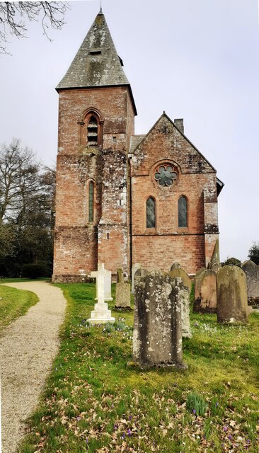
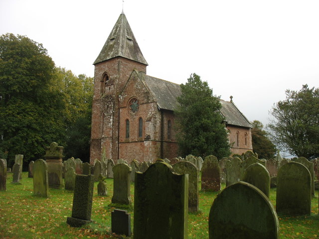
St Mary's Church


-
Description
"There is an Ordnance Survey benchmark [[7426083]] at the base of the tower buttress. The church's spire is an Ordnance Survey intersected station trig point, https://trigpointing.uk/trig/11096" Photo by Roger Templeman, 2023. -
Owner
Roger Templeman -
Source
Geograph (Geograph) -
License
What does this mean? Creative Commons License
-
Further information
Link: http://www.geograph.org.uk/photo/7426177
Resource type: Image
Added by: Simon Cotterill
Last modified: 3 months ago
Viewed: 50 times
Picture Taken: 2023-03-04 -
Co-Curate tags


