Hadrian's Wall, Wallsend Fort - St. Francis Presbytery (WM1)


-
Description
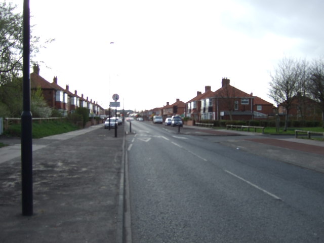
Foundations of the wall were located in 1929 in 3 places between the south side of Buddle St (where the 2 surviving courses were bonded with the West gate of Wallsend Fort) and Benton Way, a further piece being exposed in this stretch in 1988. In 1973 a piece was exposed east of the Avenue. In 1929, north of Buddle St and north of Wall, "the south lip of the ditch was located leaving a berm about 20 feet wide". Further west the ditch showed as a "chain of ponds".....No certain locations have been determined for either Milecastle 1 or Turret 0b. Milecastle 1 was located 1443 yards west of the fort, 60 yards west of Stott's Pow, by the surveyor MacLauchlan in the mid-19th century, but no founds were discovered at this site in 1928. Turret 0b is usually located at the Grange, and was apparently found during building in 1886, but may have been destroyed when Stott's Road was extended in 1936.... -
Owner
SiteLines -
Source
Local (Co-Curate) -
License
What does this mean? Unknown license check permission to reuse
-
Further information
Link: https://www.twsitelines.info/SMR/199
Resource type: Text/Website
Added by: Simon Cotterill
Last modified: 3 months, 4 weeks ago
Viewed: 86 times
Picture Taken: Unknown -
Co-Curate tags

