Enclosed settlement above Rattenraw Burn


-
Description
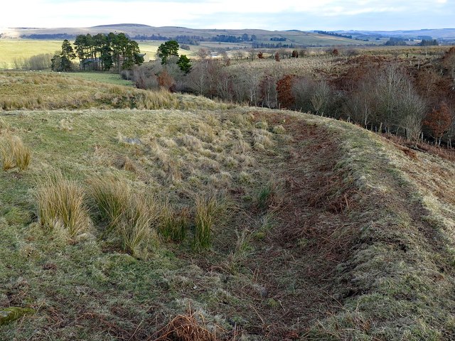
"A Roman-period farmstead lies above the Rattenraw Burn. It comprises a sub-rectangular enclosure containing two sunken yards and the foundations of three round houses. Overall, the farmstead measures 40m by 30m but outside it are four further round houses and an irregular-shaped enclosure. Archaeologist think that this shows the settlement grew larger and expanded outside its original bounds. Keys to the Past: http://www.keystothepast.info/article/10339/Site-Details?PRN=N8096 Scheduled Monument List Entry Number: 1008994 https://www.historicengland.org.uk/listing/the-list/list-entry/1008994" Photo by Andrew Curtis, 2018. -
Owner
Andrew Curtis -
Source
Geograph (Geograph) -
License
What does this mean? Creative Commons License
-
Further information
Link: http://www.geograph.org.uk/photo/5692299
Resource type: Image
Added by: Simon Cotterill
Last modified: 9 months, 2 weeks ago
Viewed: 212 times
Picture Taken: 2018-02-25 -
Co-Curate tags


