Which way to go


-
Description
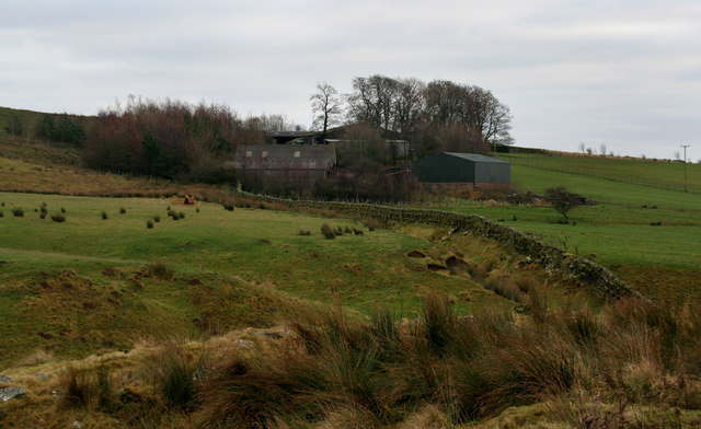
"Road junction at a strangely named place "Middle Golden Pot". The original Roman road Dere Street actually went straight ahead at this point but if you take the left branch here the military road turns right shortly afterwards and then after a short distance rejoins Dere Street. Note that this area is within the MOD ranges area and may only be accessed when the red flags are not flying. " Photo by No Body, 2006. -
Owner
No Body -
Source
Geograph (Geograph) -
License
What does this mean? Creative Commons License
-
Further information
Link: http://www.geograph.org.uk/photo/99869
Resource type: Image
Added by: Simon Cotterill
Last modified: 9 months ago
Viewed: 171 times
Picture Taken: 2006-01-02 -
Co-Curate tags


