Old Wayside Cross


-
Description
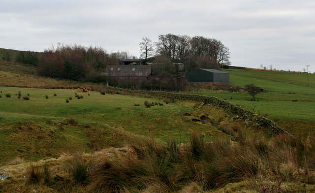
"Outer Golden Pot, a wayside cross consisting of an old base. Set beside Dere Street / Hamel's Path southeast of Chew Green Roman Camps in Rochester parish. Grade II Listed https://historicengland.org.uk/listing/the-list/list-entry/1041301. See also https://www.geograph.org.uk/photo/3433260 and https://www.geograph.org.uk/photo/3433260. Milestone Society National ID: NBTY_ROC02" Photo by Mike Rayner, 2019. -
Owner
Mike Rayner -
Source
Geograph (Geograph) -
License
What does this mean? Creative Commons License
-
Further information
Link: http://www.geograph.org.uk/photo/6500414
Resource type: Image
Added by: Simon Cotterill
Last modified: 9 months ago
Viewed: 178 times
Picture Taken: 2019-04-28 -
Co-Curate tags


