The Crook Burn


-
Description
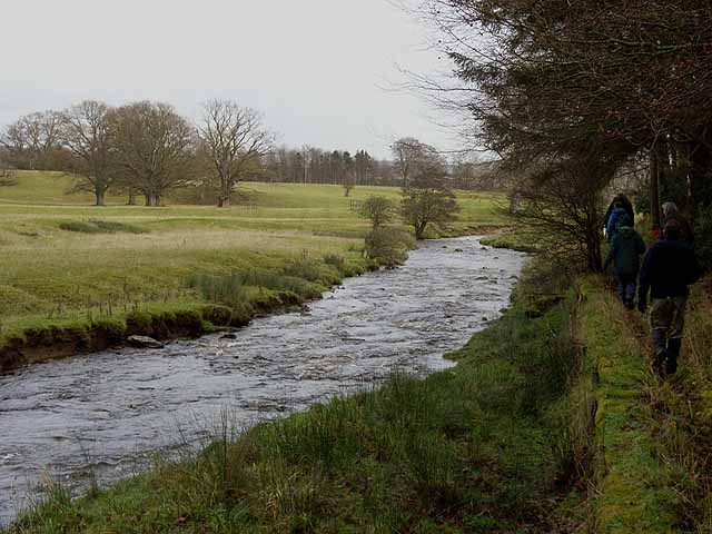
"The path runs on the south side of the burn alongside Horsleyhill Plantation. On the other side of the stream is the typical parkland country of Nunwick Hall." Photo by Oliver Dixon, 2008. -
Owner
Oliver Dixon -
Source
Geograph (Geograph) -
License
What does this mean? Creative Commons License
-
Further information
Link: http://www.geograph.org.uk/photo/1082993
Resource type: Image
Added by: Simon Cotterill
Last modified: 1 year ago
Viewed: 295 times
Picture Taken: 2008-12-17 -
Co-Curate tags


