The Crook Burn (Proctors Burn), Nunwick


-
Description
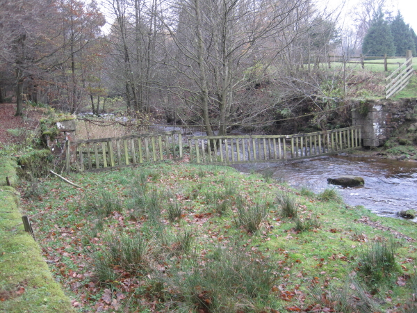
"Looking at the stone structures on either side of the burn I wondered if they may have been supports for a footbridge. One is marked on OS Maps further up stream but I couldn't find one for this position. On an 1894 map the burn is named as Protors Burn and on subsequent maps until 1970." Photo by Les Hull, 2010. -
Owner
Les Hull -
Source
Geograph (Geograph) -
License
What does this mean? Creative Commons License
-
Further information
Link: http://www.geograph.org.uk/photo/2199734
Resource type: Image
Added by: Simon Cotterill
Last modified: 1 year ago
Viewed: 212 times
Picture Taken: 2010-11-17 -
Co-Curate tags


