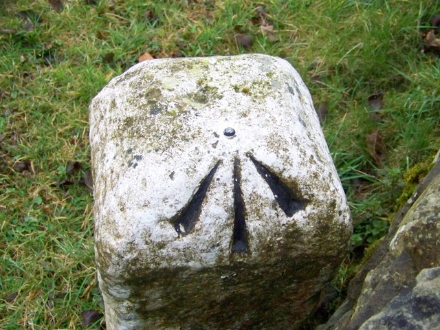
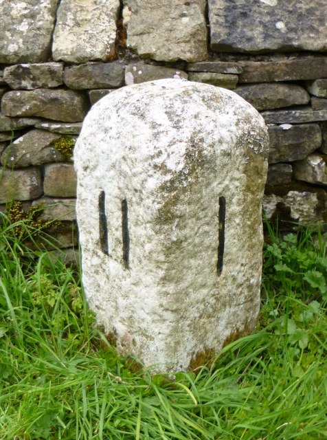
Bench Mark, Kearstwick

-
Description
"Bench mark on the milestone beside the B6254. For a wider view [[1813196]], [[1813207]] and http://www.bench-marks.org.uk/bm34065 A bench mark is an Ordnance Survey arrowhead sign found on walls, bridges, churches and specially erected triangulation pillars where the altitude above sea-level has been accurately measured by surveyors. The arrowhead points to a horizontal line above it which marks the exact altitude. With rivets and pivots there is no datum (horizontal line) cut, the pointed-to horizontal surface defining the datum height." Photo by Maigheach-gheal, 2010. -
Owner
Maigheach-gheal -
Source
Geograph (Geograph) -
License
What does this mean? Creative Commons License
-
Further information
Link: http://www.geograph.org.uk/photo/1813200
Resource type: Image
Added by: Simon Cotterill
Last modified: 1 year, 1 month ago
Viewed: 203 times
Picture Taken: 2010-03-24 -
Co-Curate tags


