Lily Bank, Wallsend

-
Description
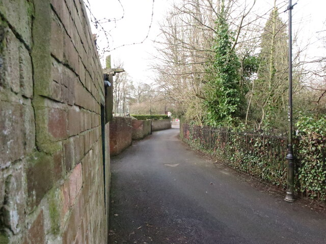
"When the first Ordnance Survey Six-Inch map of the area was published in 1865, Lily Bank at this point followed much the line as it does today. At the bottom of the bank, where the road now joins Kings Road South, the route then turned north linking the various properties and farms in the area of The Green with the settlements at Bridge Row, Willington Low Row and Rising Sun. For a selection of detailed free to download walking routes in the area visit www.northtynesidewalks.co.uk" Photo by Geoff Holland, 2021. -
Owner
Geoff Holland -
Source
Geograph (Geograph) -
License
What does this mean? Creative Commons License
-
Further information
Link: http://www.geograph.org.uk/photo/6773024
Resource type: Image
Added by: Simon Cotterill
Last modified: 1 year, 5 months ago
Viewed: 282 times
Picture Taken: 2021-03-09 -
Co-Curate tags


