Benchmark, Strand Road, Carlisle


-
Description
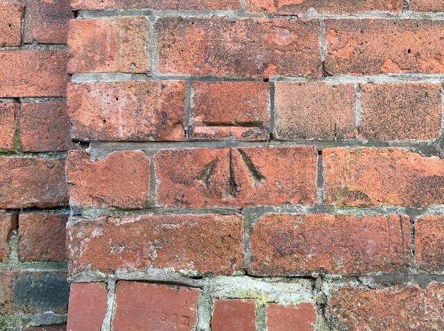
"Detail of the Ordnance Survey cut benchmark on the north-east corner of the Carlisle College Business and Enterprise Centre, facing Strand Road. The benchmark marks a height of 18.5928m above mean sea level (Ordnance Datum Newlyn) last verified in 1972 (location photograph [[7500021]])." Photo by Adrian Taylor, 2023. -
Owner
Adrian Taylor -
Source
Geograph (Geograph) -
License
What does this mean? Creative Commons License
-
Further information
Link: http://www.geograph.org.uk/photo/7499031
Resource type: Image
Added by: Simon Cotterill
Last modified: 1 year, 9 months ago
Viewed: 291 times
Picture Taken: 2023-05-30 -
Co-Curate tags

