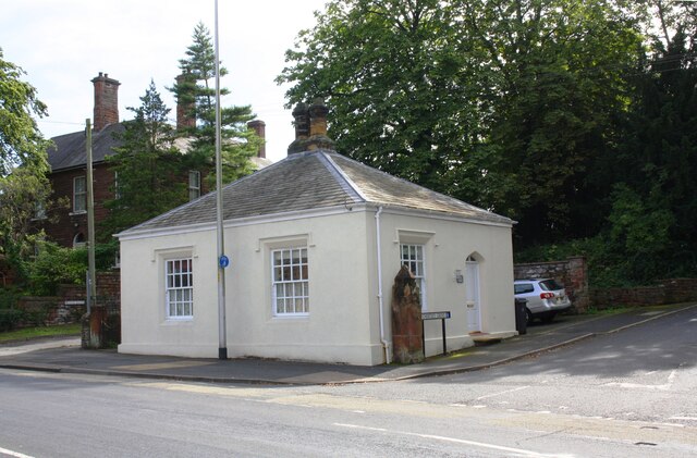
The Lodge, London Road at Chertsey Grove junction


-
Description
"Ordnance Survey documents indicate that a benchmark was levelled at 120.727 feet above Liverpool Datum on the near corner of this former toll house during the 1841-1844 Liverpool to Port Carlisle 1GL Survey. The surveyor's description of the mark was 'No. 465. Bolt in North-west corner of Harraby Toll-house ; 2.65 ft. above surface'. See www.bench-marks.org.uk/bm80950" Photo by Roger Templeman, 2019. -
Owner
Roger Templeman -
Source
Geograph (Geograph) -
License
What does this mean? Creative Commons License
-
Further information
Link: http://www.geograph.org.uk/photo/6846664
Resource type: Image
Added by: Simon Cotterill
Last modified: 1 year, 10 months ago
Viewed: 353 times
Picture Taken: 2019-08-24 -
Co-Curate tags
")


