Hartlepool Headland - Port of Hartlepool AUGUST 2023

-
Description
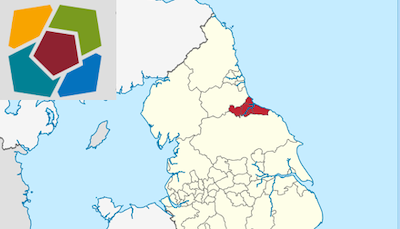
Location: Hartlepool is situated 3.5nm N of the entrance to the River Tees. General overview: Hartlepool has a tidal harbour (Victoria Harbour) with the enclosed N Basin being entered from Victoria Harbour. Hartlepool's main trade is forest products, ores, coal, cars, steel and general cargo. There is also a ship breaking yard. Traffic figures: Approx 392,000t of cargo handled annually. Load line zone: North Atlantic Winter Seasonal Zone II, Winter Nov 1 to Mar 31, Summer Apr 1 to Oct 31. Max size: LOA 190m; beam 33m, draught 9.4m. Required Under Keel Clearance 1.25-1.8m, depending on beam. Max size for high sided vessels: LOA 173.5m, beam 27.5m. -
Owner
Peace Drone -
Source
Youtube (Youtube) -
License
What does this mean? Unknown license check permission to reuse
-
Further information
Link: https://www.youtube.com/watch?v=UEMIuPlvMzw
Resource type: Video
Last modified: 1 year, 8 months ago
Viewed: 401 times
Picture Taken: Unknown -
Co-Curate tags


